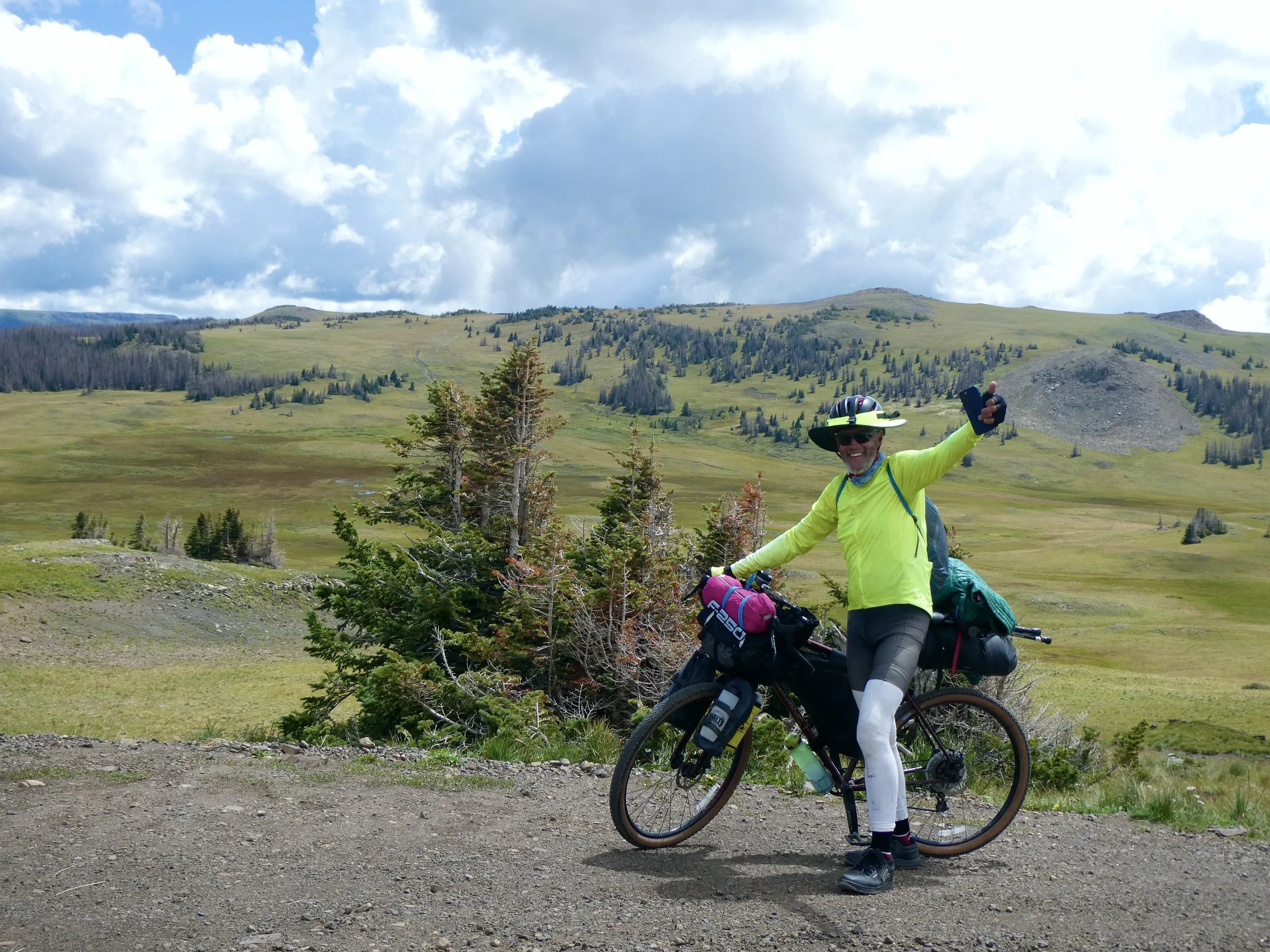
The first step of the day was to pull out map 5 and put map 4 away. There is only one map after that which is exciting and sad all at once. This trip has been amazing.
August 20
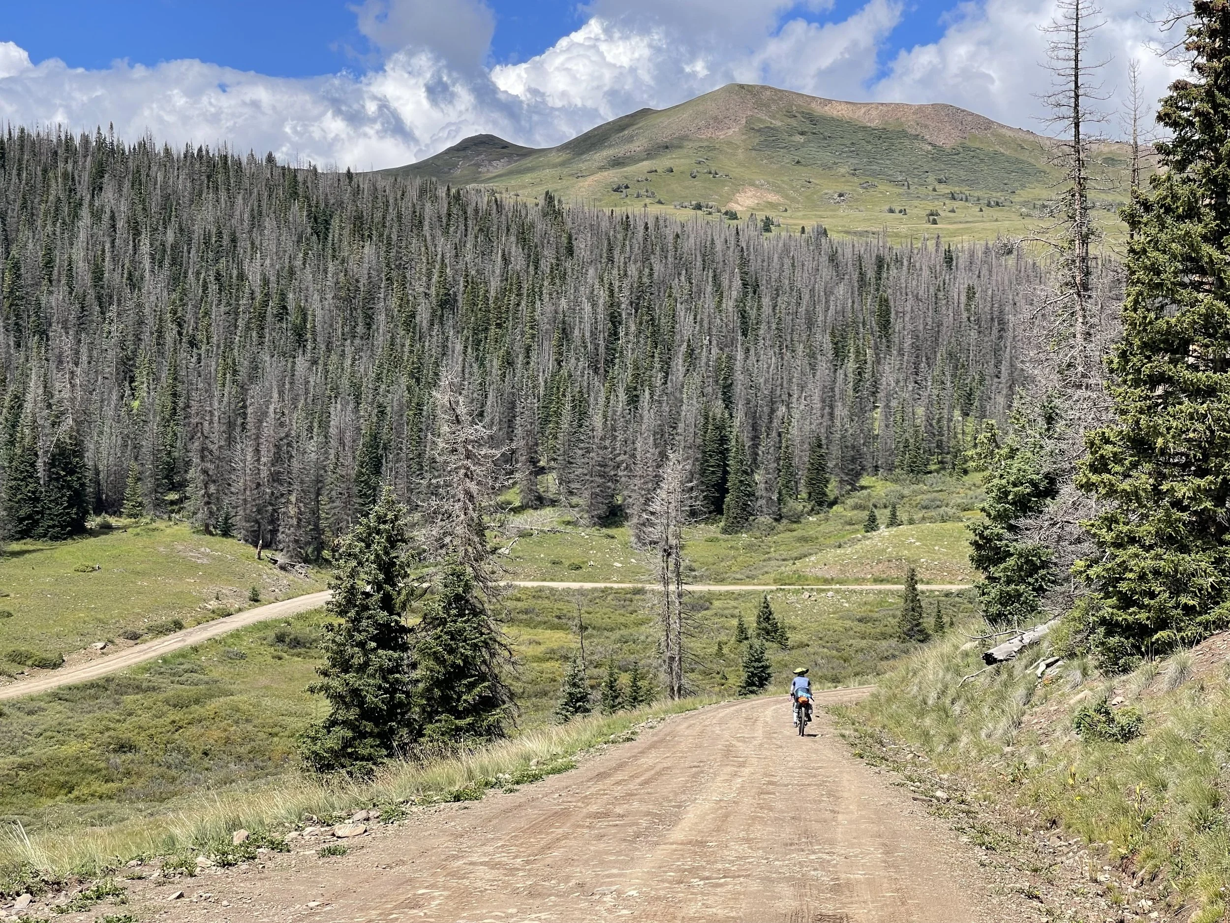
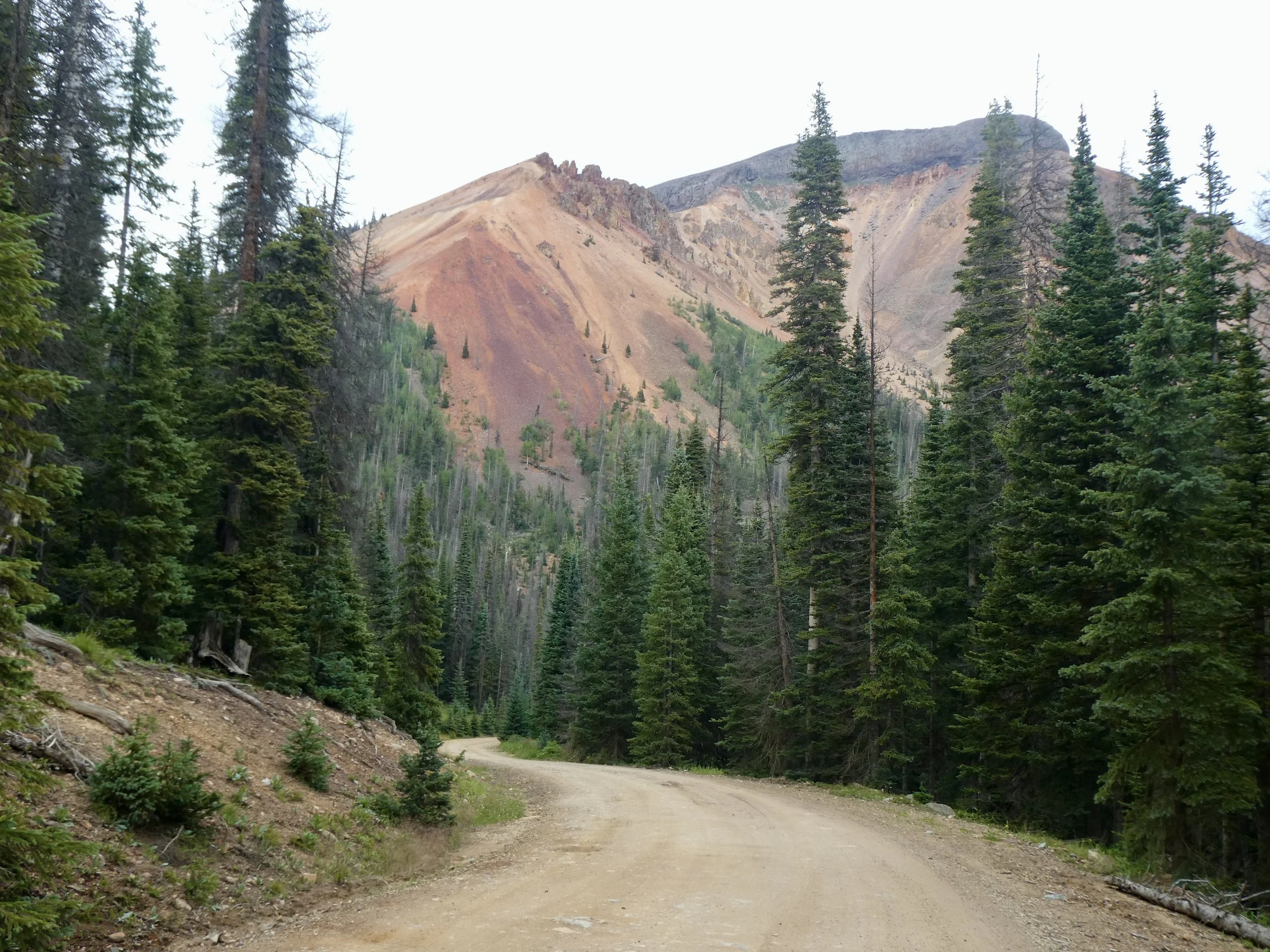
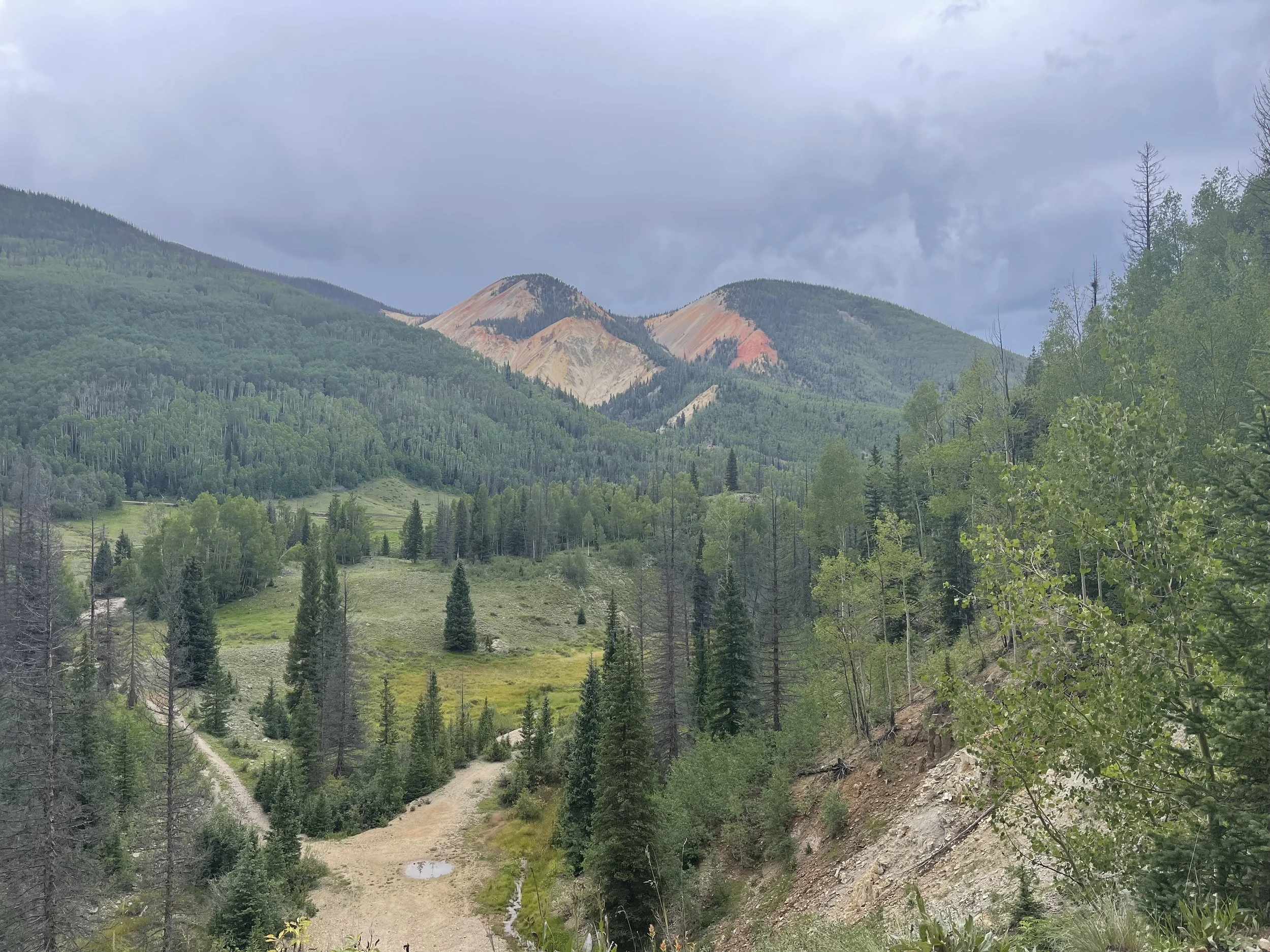
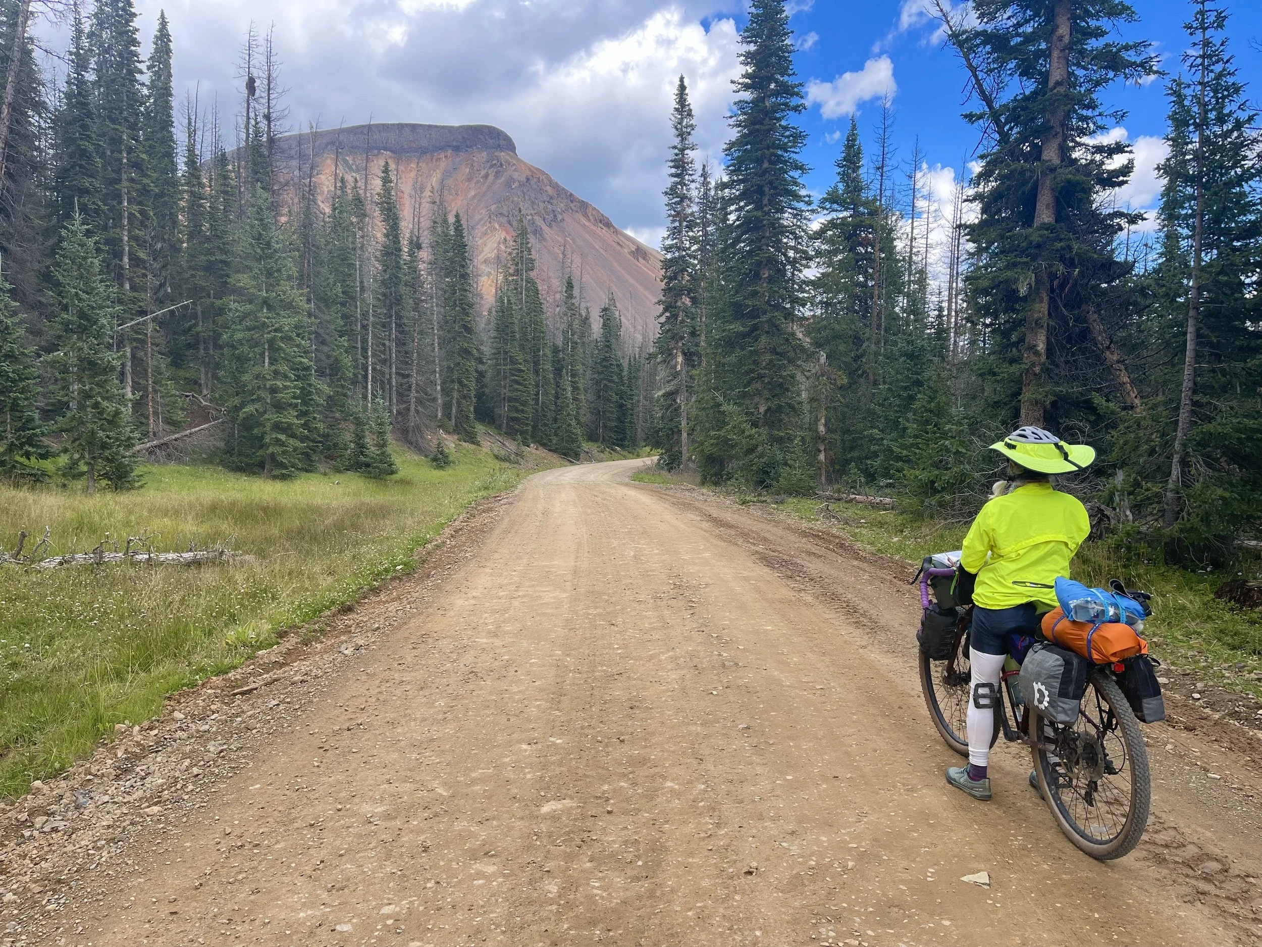
The rain fell through out the night so when morning finally came we were ready to head out. We made the decision to head up the main route to Marshall Pass. The other option was shorter, rockier and steeper and after all the rain, most likely quite muddy. We had a 10 mile bike ride to get to the top of the pass. Fortunately it was railroad grade which meant a 3 to 4 percent grade.
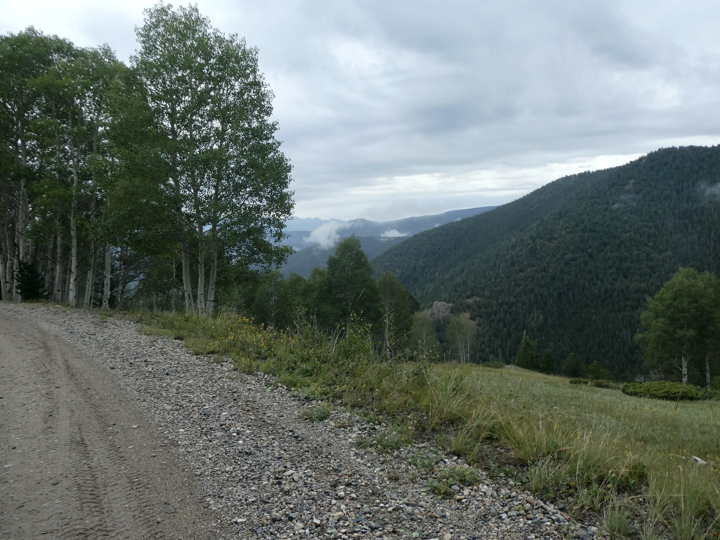
Plenty of moisture in the area, but no rain!
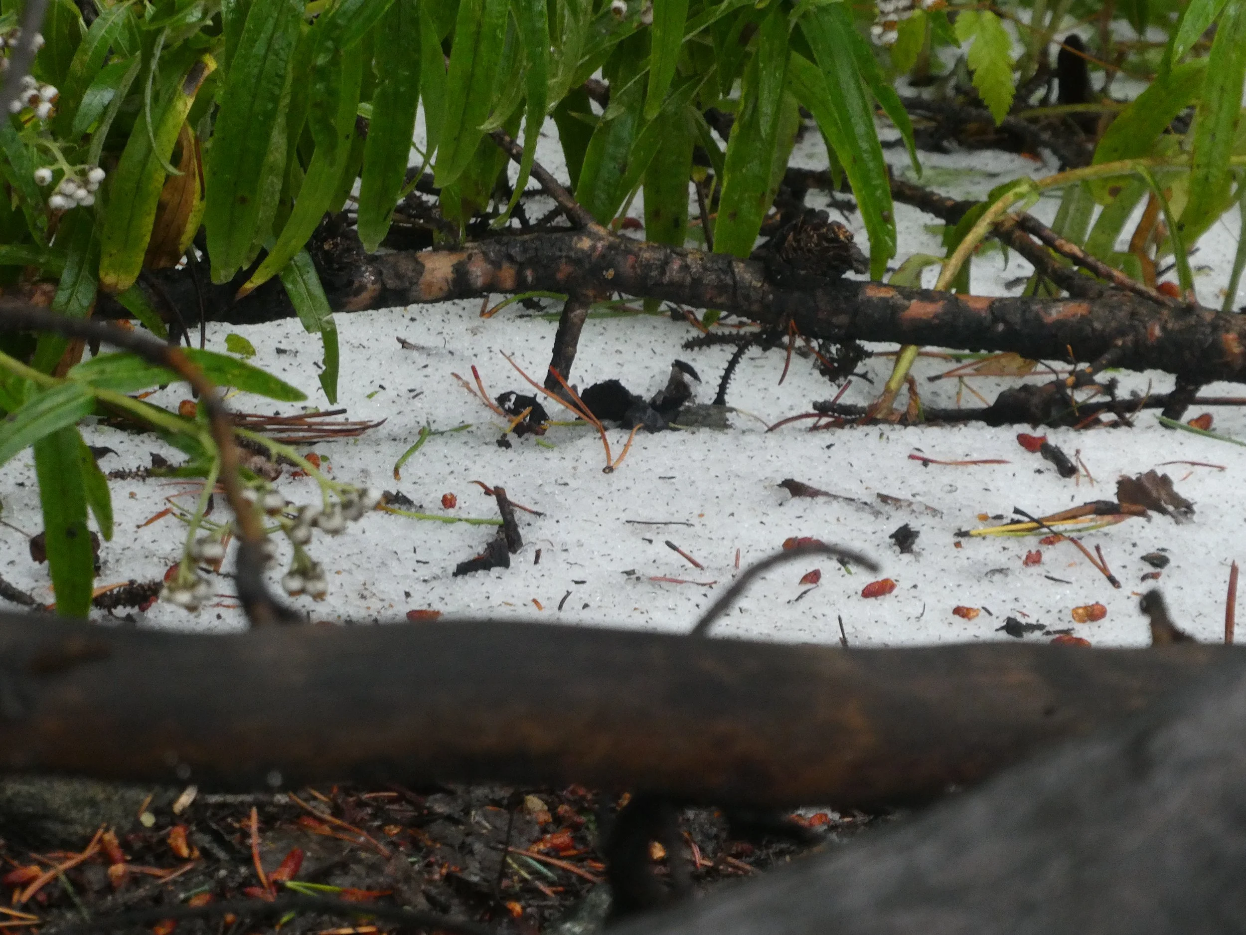
No snow fell on us, but there were patches higher up.
The forest especially the aspen trees looked quite healthy, unlike the trees in northern Colorado. We met a Colorado Divide hiker about four miles from the top of the pass. His phone had died and he wasn’t sure of his location, hopefully he will carry a map next time. The trail that he wanted was at the top of the pass which is where he had been this morning, he had missed it. At the top of the pass there were lots of Mountain Bikers who were doing a standard route of getting dropped off up high near Monarch Pass and riding back to Salida. Sticking to the road was much more our speed.
Several cars had passed us going to the top of the pass, only a 4X4 passed us on the way down.
A 16 mile down hill greeted us after the pass. The trail alternated between easy and steep. It was a beautiful ride to the town of Sargents. There was one cafe here and we quickly stopped to fill up on burgers and fries followed by blueberry pie and ice cream. After eating we headed down a paved road for 12 miles before turning on to a gravel road.
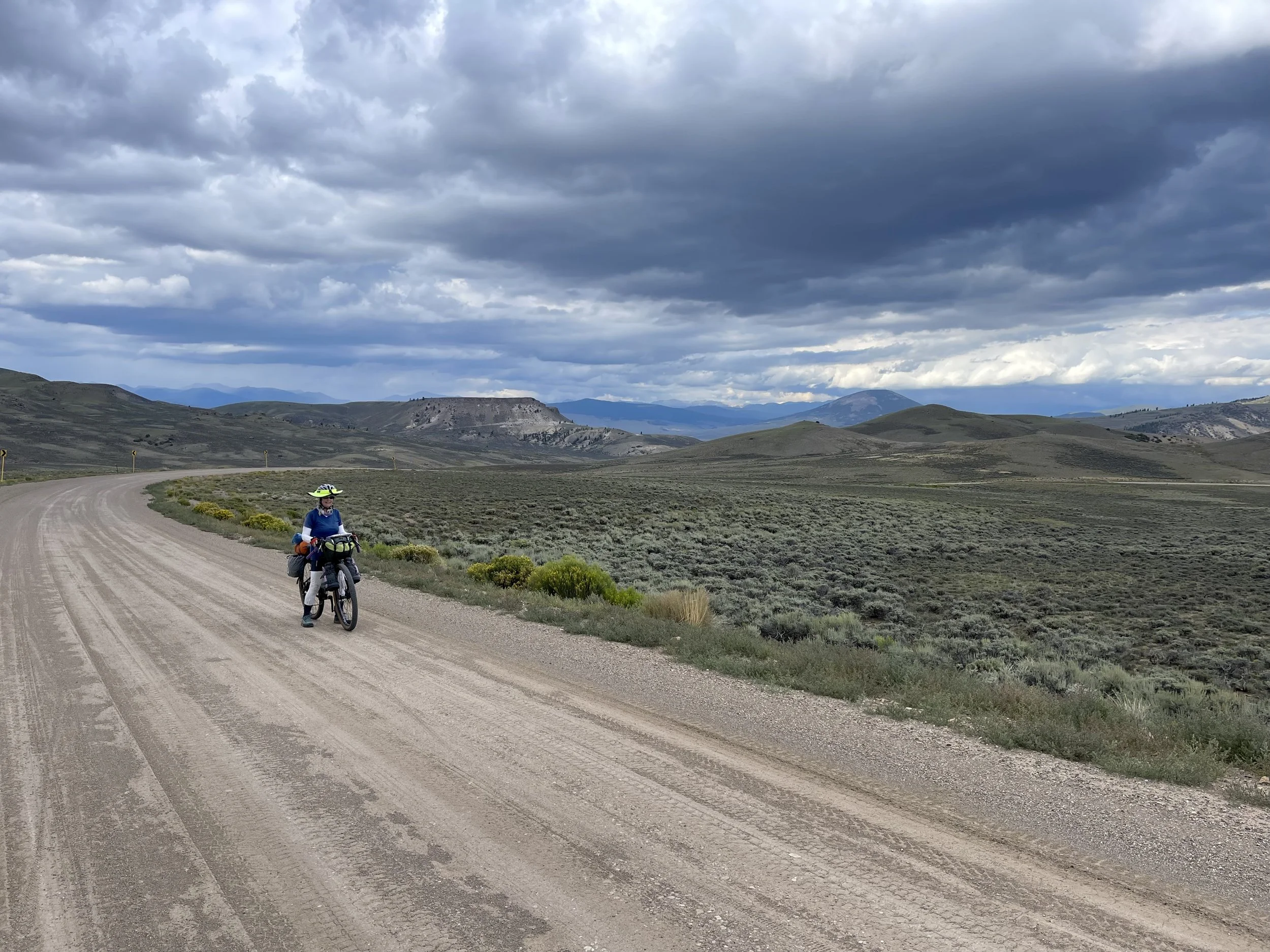
We have really enjoyed the scenery today.
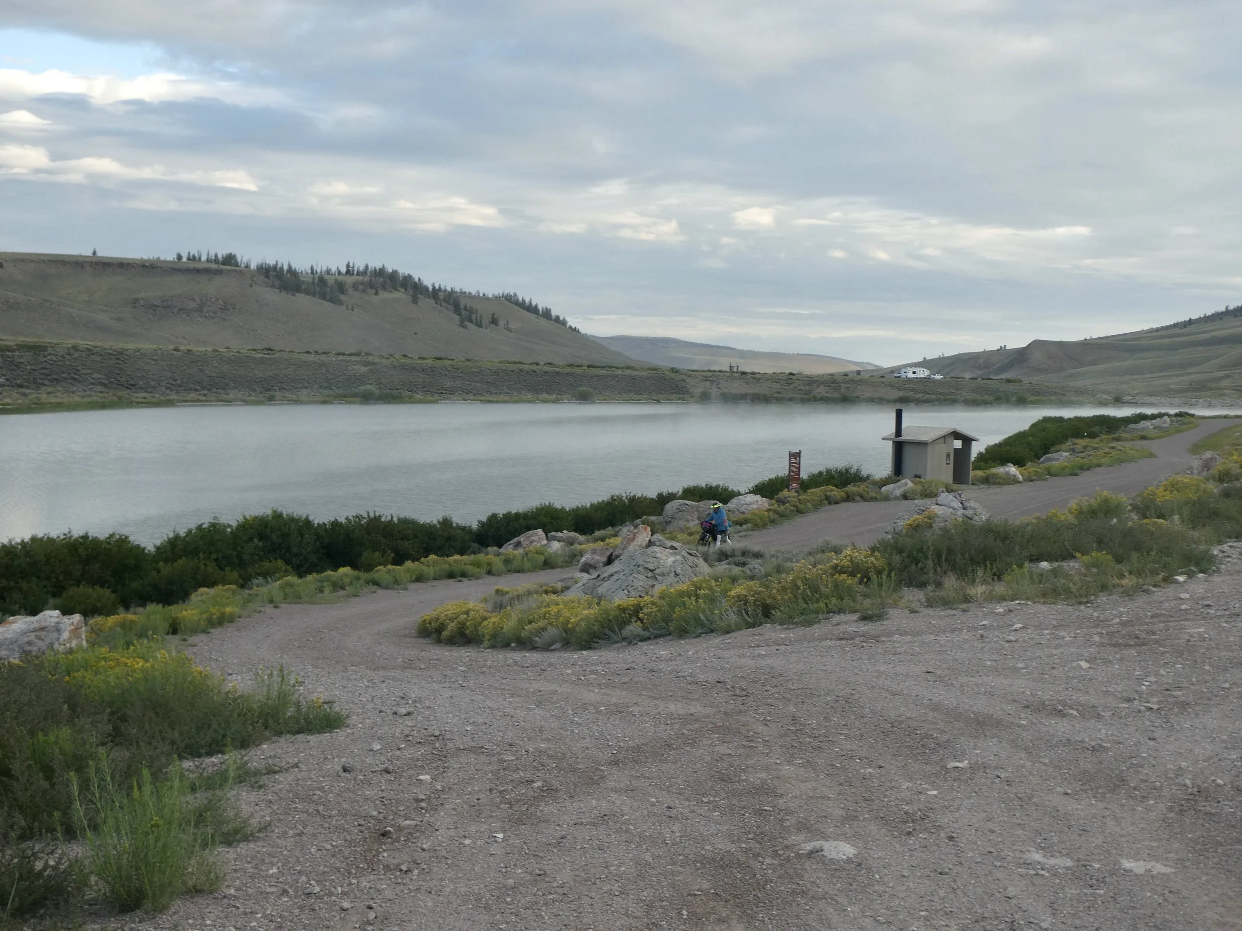
By late afternoon, the wind had picked up and turned into a headwind. Our options for camping were slim until we arrived at a reservoir . There was a water pump on the other side of the reservoir but it was more than a mile away so we opted to find a spot on this side. It definitely had been used before.
Home for the night. The weather looked like rain, so we used the bathroom as a garage for the bikes.
Campsite reservoir
Miles peddled 62
August 21
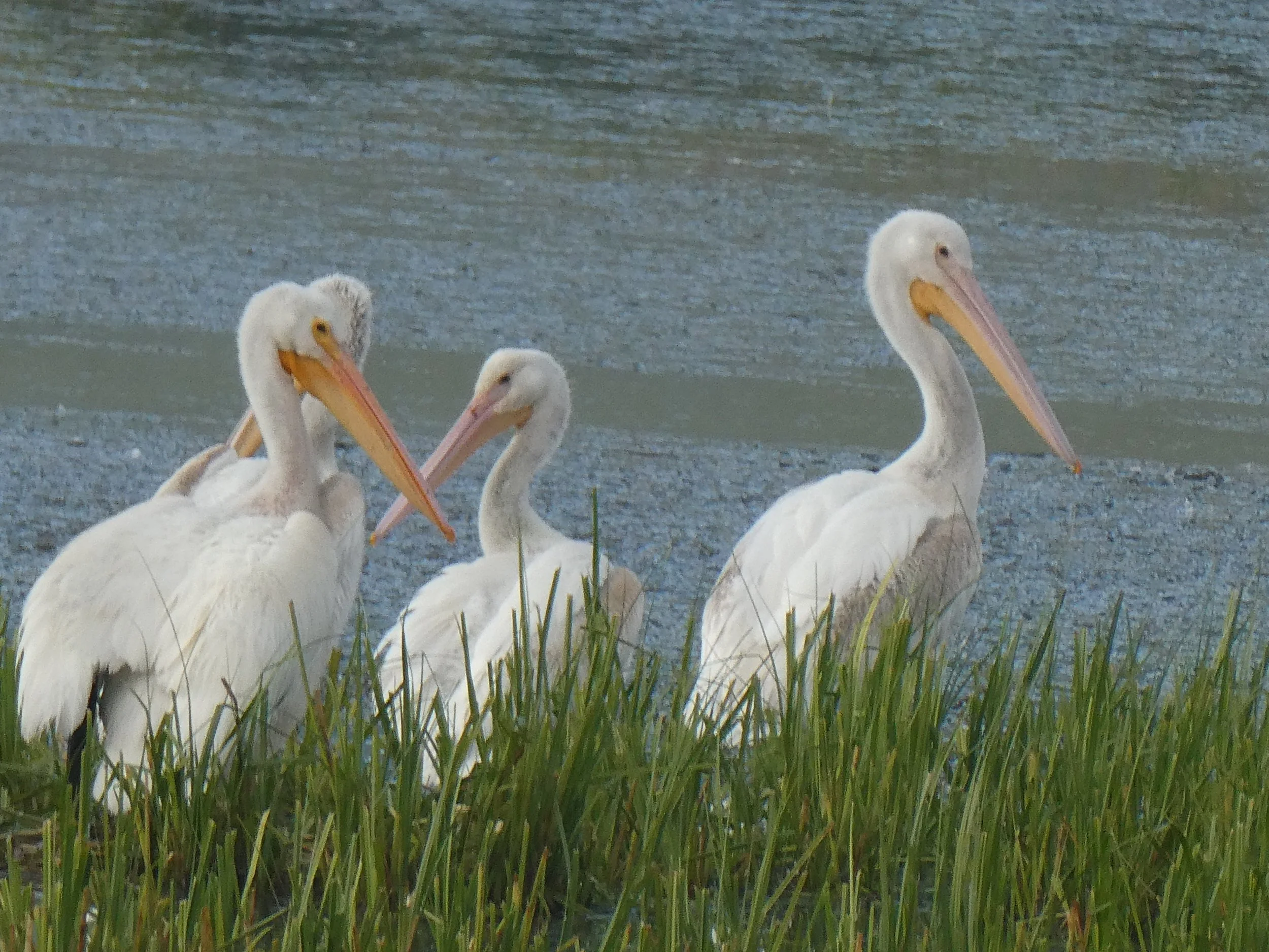
It was a quiet night, the wind died down and the rain did not fall. I checked out the water in the reservoir to filter, but decided that it was marginal, we had enough water to continue on. A flock of pelicans sent us on our way.
Looked like parents and babies in this group.
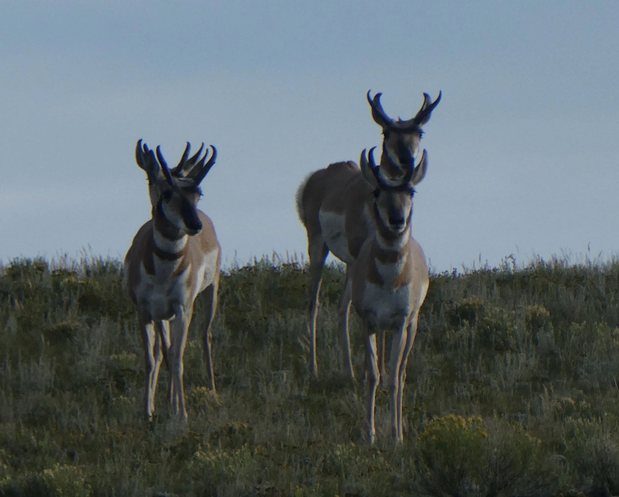
Instead of running away these antelopes stopped to check us out.
We had two passes to go over today. The first one was Cochetopa. It was railroad grade so other than short sections just to stretch we rode most of it.
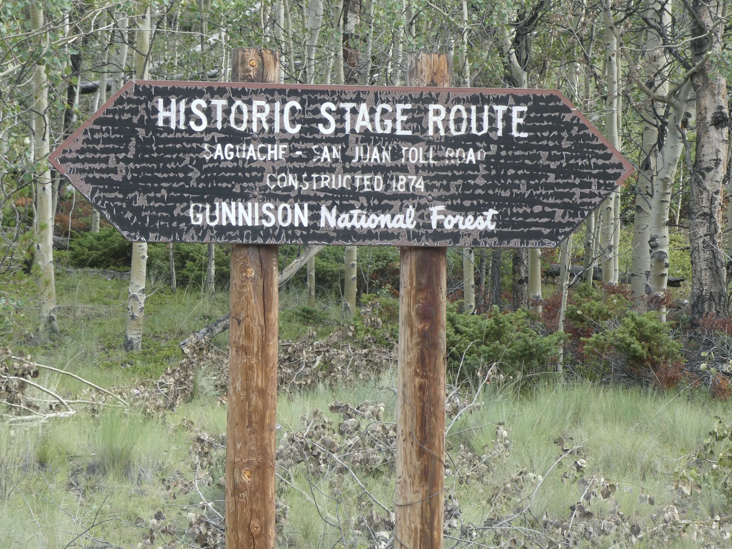
It is always fun to see that the road we are on is one that was used as an important route in 1874
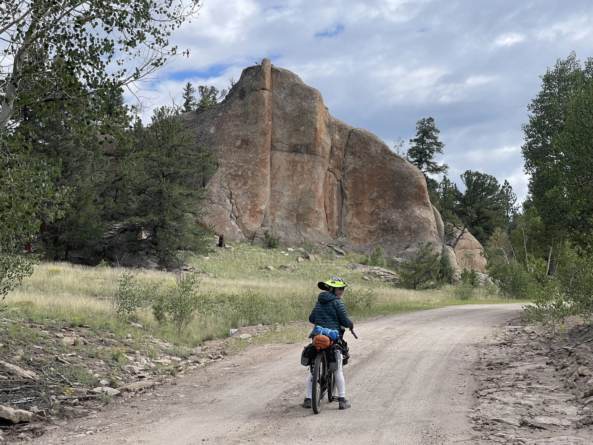
Beautiful ride, we felt that we could have been in a national park.
The next pass that we went over was Carnero Pass. This pass was not railroad grade and we found ourselves needing to push our bikes up some of the steeper parts. A couple on motorcycles stopped to talk to us and told us about their alligator farm. They also said they had checked the weather before coming on their ride. They thought we should be able to get up and over the pass without worrying about a storm. I hope that is true because some of the clouds are threatening.
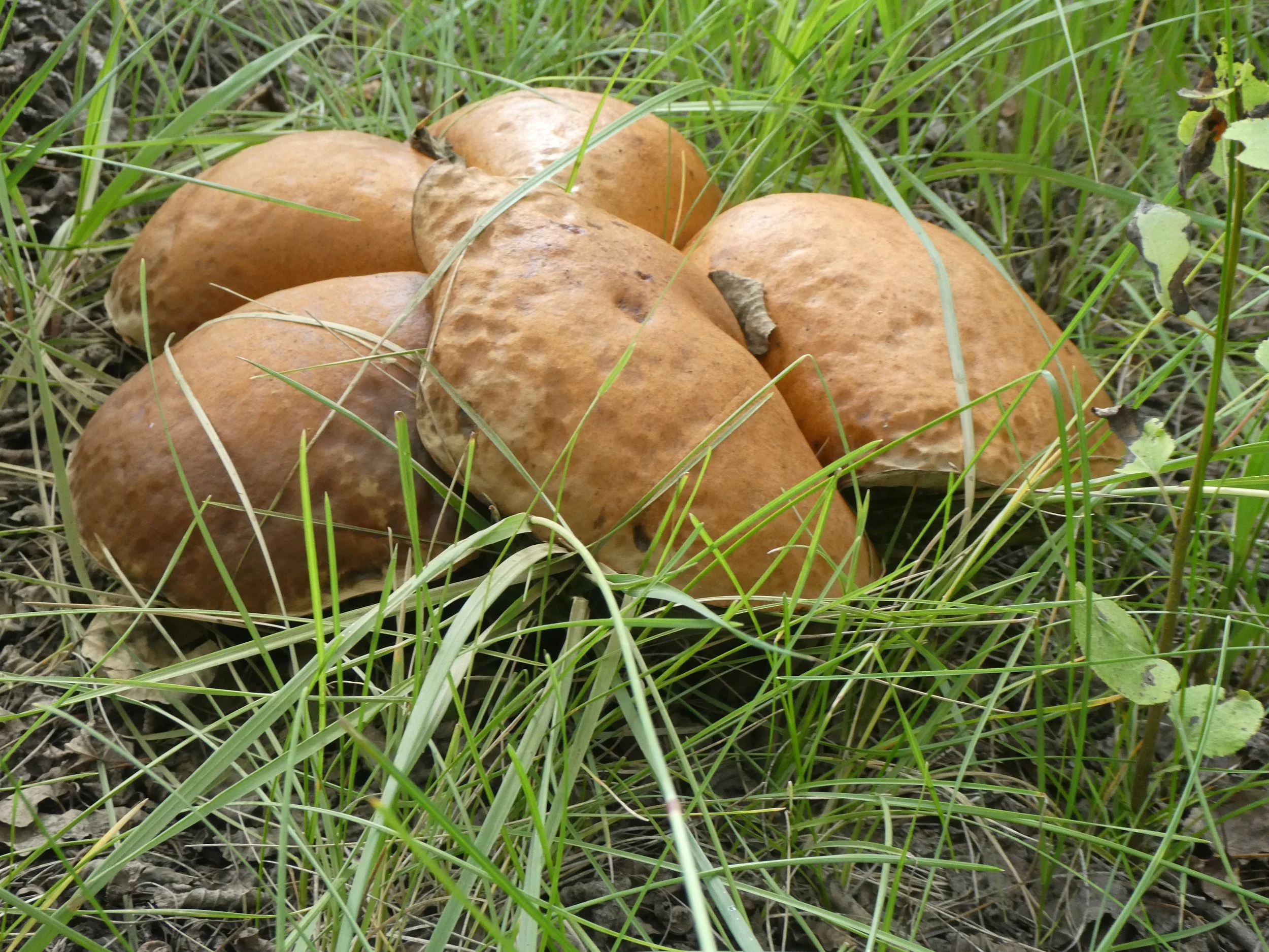
Both sides of the road were covered with bolete mushrooms.
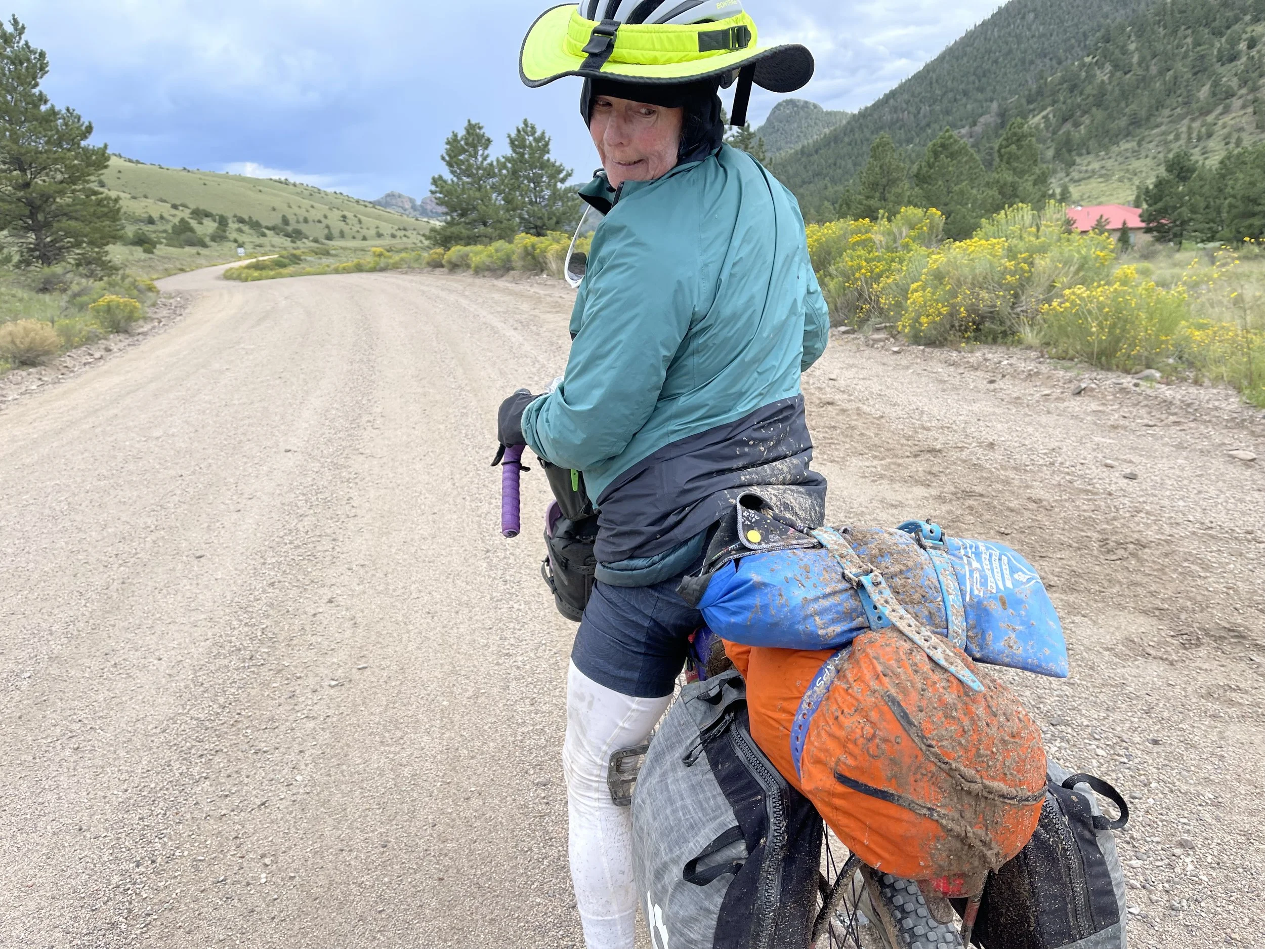
We thought that luck was with us and then the drops of rain started. Not too bad, we put on rain jackets, and then it was a full on down pour. We crested the pass and quickly started the downhill. The rain kept coming and little rivers started forming on each side of the road. I picked up my pace with the mud hitting me on all parts of my body. The temperature was dropping and I turned around and didn’t see Don. Yikes! Then I saw the yellow hat and he was on his way down. He figured that being conservative on the speed was the right thing to do. As we continued down the rain continued but it started to warm up. We passed a campground appropriately called Storm Campground. It was still pouring and the route was down hill so we continued on. Finally the rain stopped and out comes the sun. We were glad we made the decision to keep going.
Mud was everywhere.
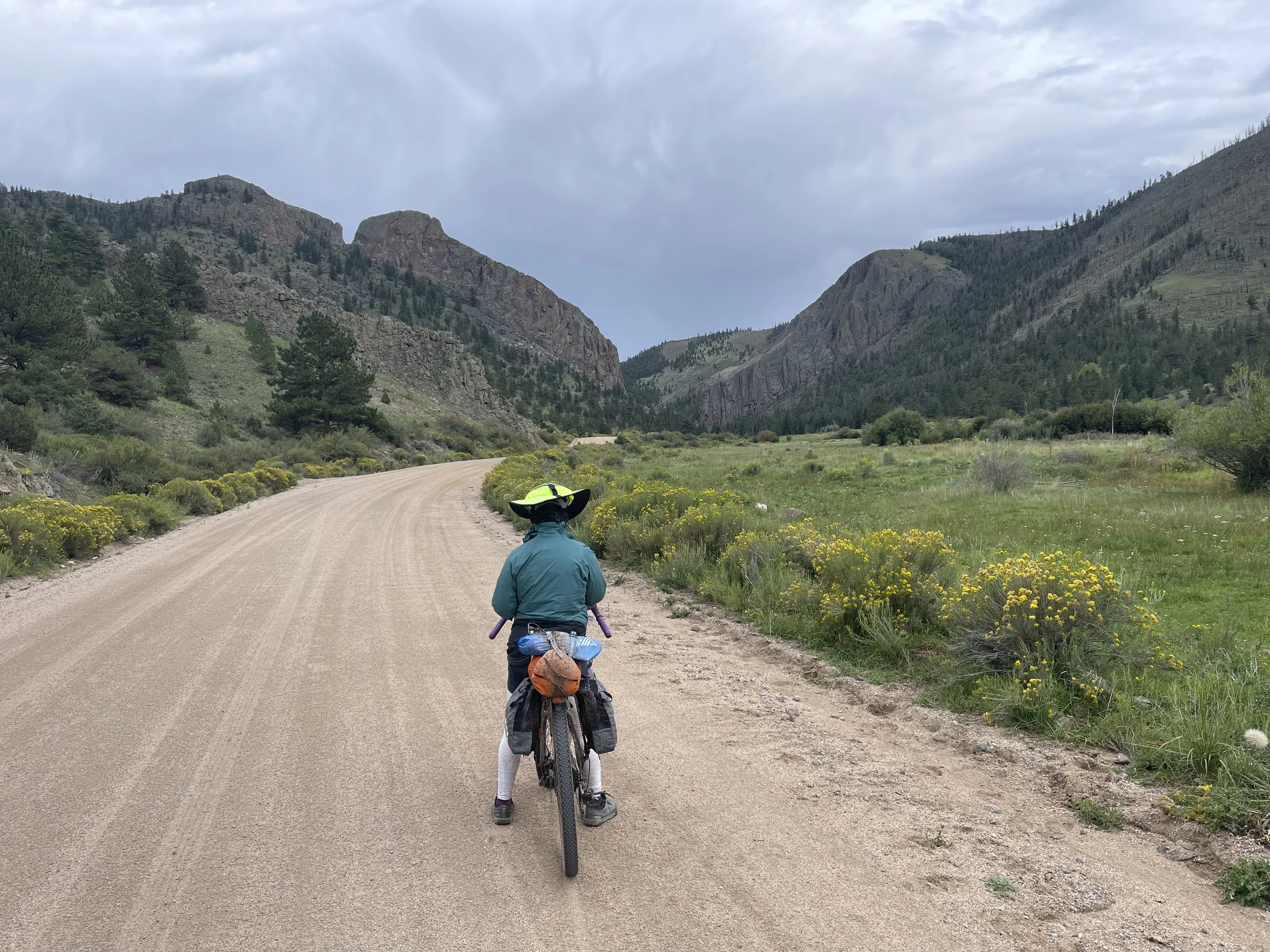
It had barely rained at the lower elevations . More scenic views and best of all at the end of the day down hill.
A rider from Quebec, caught up with us and said he had been following our bike tracks in the mud. He is on a schedule and only has a month to do the trail. We talked for awhile then he took off.
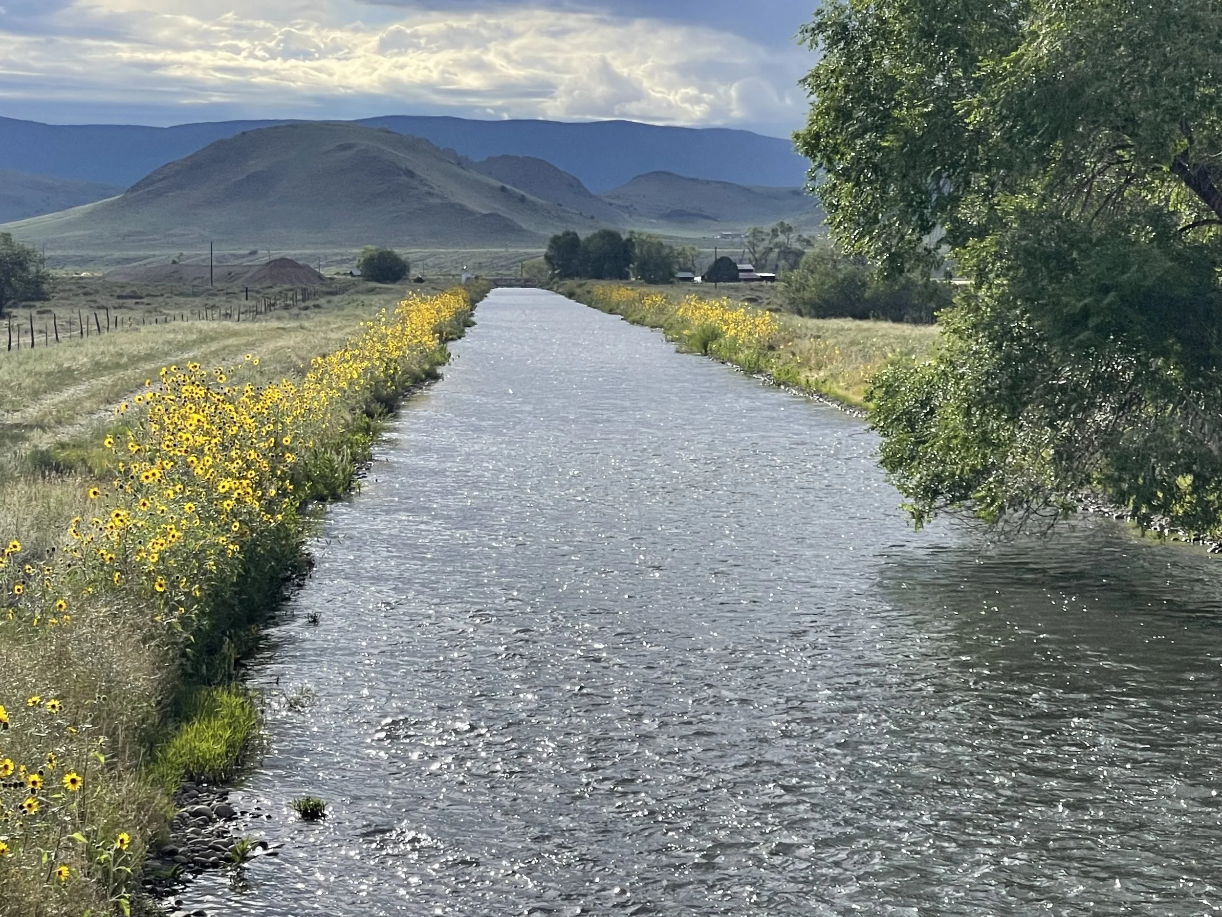
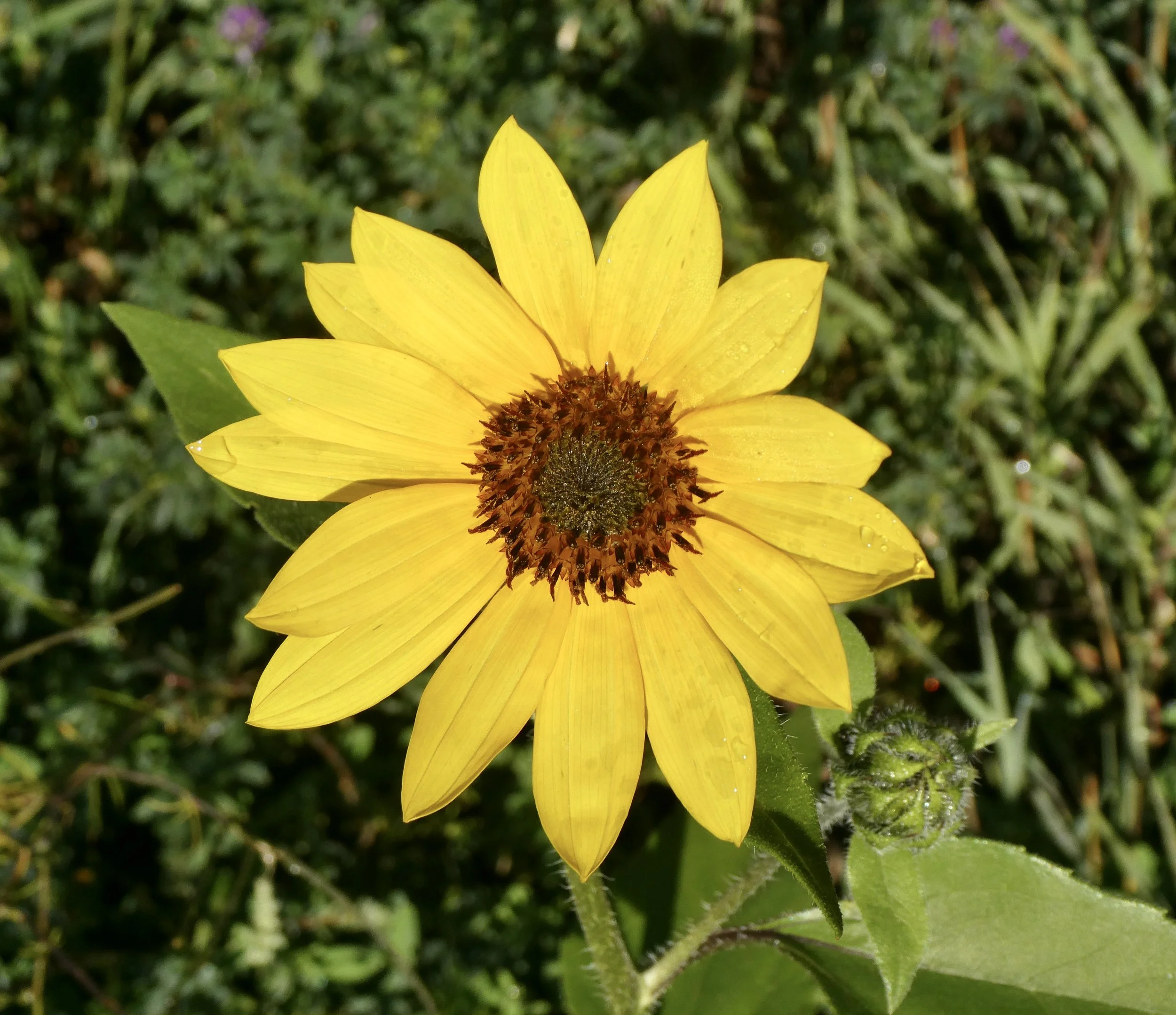
There is a small town called Las Garita that if opened has a really good cafe. This town has a historic church which we could see from the turn to go into the town. We decided since the cafe was closed we would head on to the town of Del Norte. It was mostly flat to the town, however it had lots of very bad washboard. We weaved our bikes from one side to the other trying to find the best line. Then came the pavement and a water way lined with sunflowers. This is the summer of sunflowers they are everywhere.
We saw the sign for the trailer park and headed there. The Woods and River RV park had everything we needed. Clean showers, wifi, laundry and a place to clean our bikes. Our bikes needed to be washed! The tent site was near a peaceful river. Contentment is the word for tonight. We checked out the weather for tomorrow and the forecast was for thunderstorms. The highest pass of the entire route is tomorrow and we need good weather to go over it. A decision is made, we are going to take the entire day off. It will be our first layover of the trip,
Campsite Woods and River RV Park
Miles Peddled 65
August 22
The town of Del Norte didn’t disappoint. Other than a fuel canister for our stove it had everything we needed.
After sleeping in some, we headed to Boogies a highly recommended cafe for breakfast. The cinnamon rolls had just come out of the oven and we thought that would be a treat for tomorrow, however we had no self will and before our meal arrived, it had disappeared .
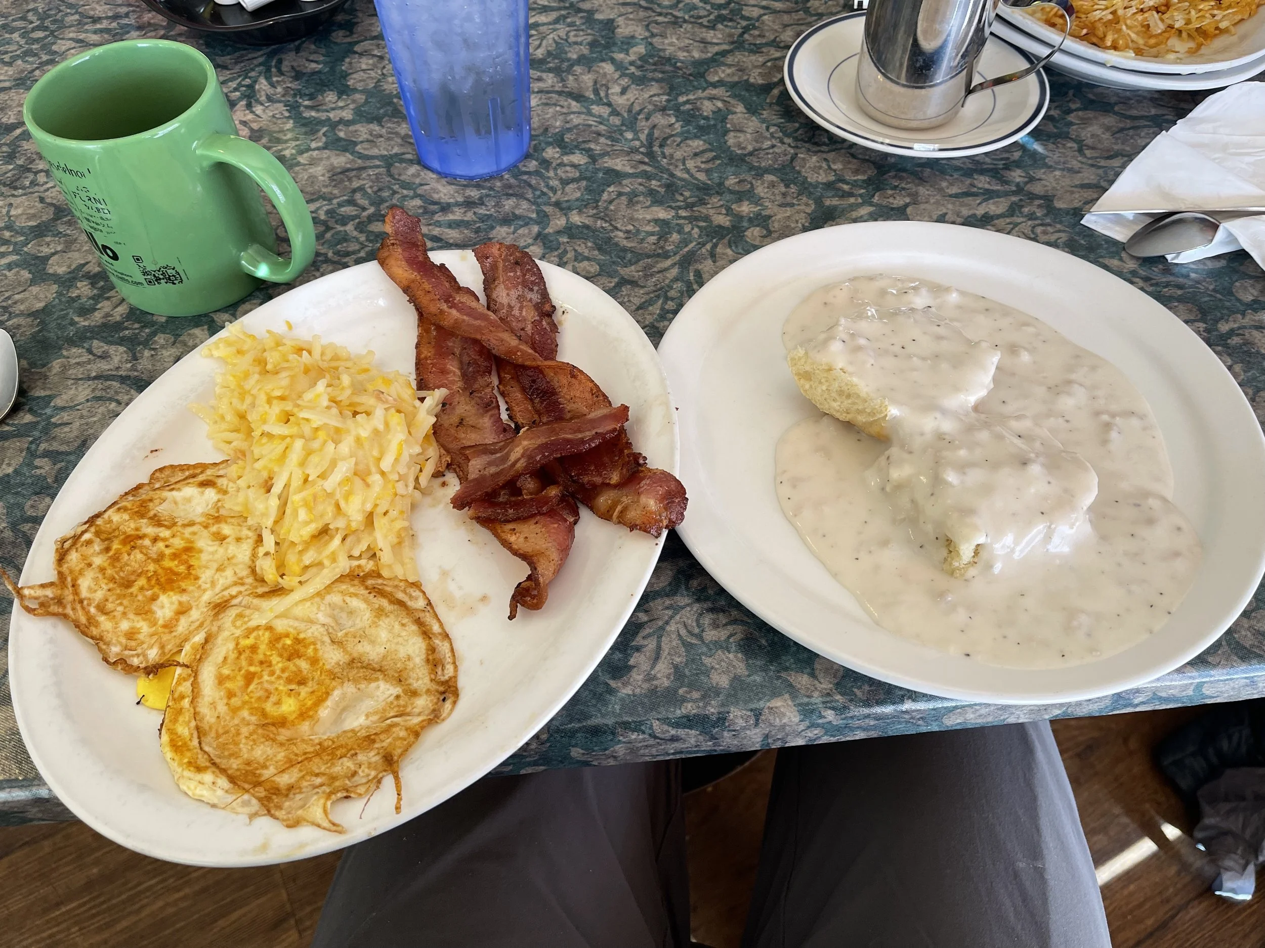
Don’s meal, We are loving the fact that we can just keep eating and then some.
A stroll around the town provided us with more palisade peaches, smoothies and a good selection of food for lunch and breakfast tomorrow. This day off was just what we needed. The afternoon build up and eventually a thunderstorm made us feel good about the decision not to go over the pass today. It rained before we went to bed, but the weather is looking great for tomorrow.
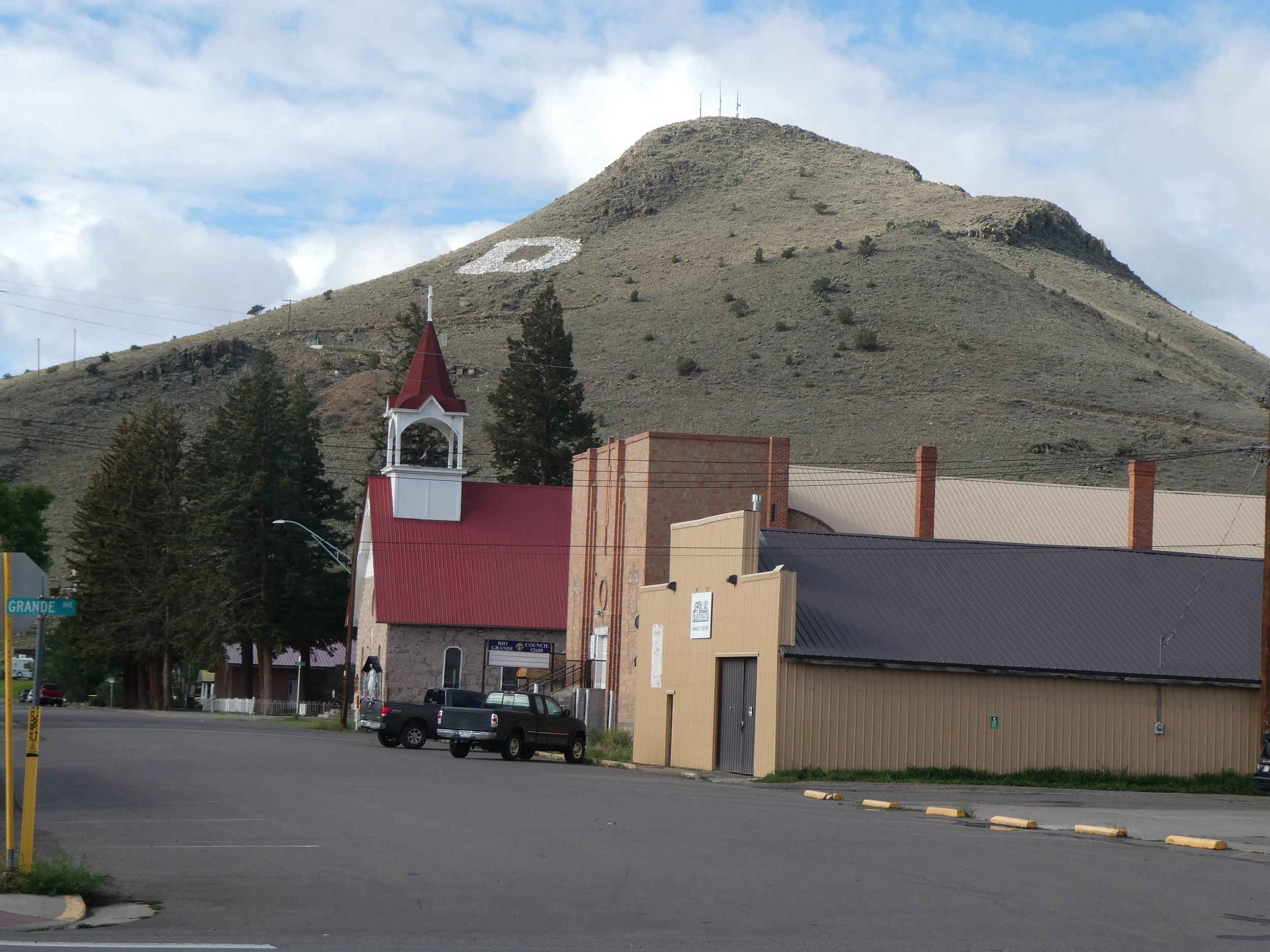
We felt quite welcome with the initial D on the mountain behind the town.
Campsite. Woods and River RV Park
Miles peddled 0
August 23
It is going to be a big day for us! Two things are on the docket 1 (celebrate Don’s 72 birthday) and 2 (Head up and over the largest pass of the trip.),We got up a little earlier than usual, it helped being well rested, We peddled out of town and turned on the road going up to Indian Pass. The first 12 miles were paved and not very steep. Sun flowers brightened the road side.
Ah! beautiful
The gravel started and the road steepened. We have about 10 miles before the pass, we rode when we could and walked when It made sense. The views were outstanding. It was also obvious that there had been a lot of rain recently. There were numerous puddles ,but we were able to go around them.
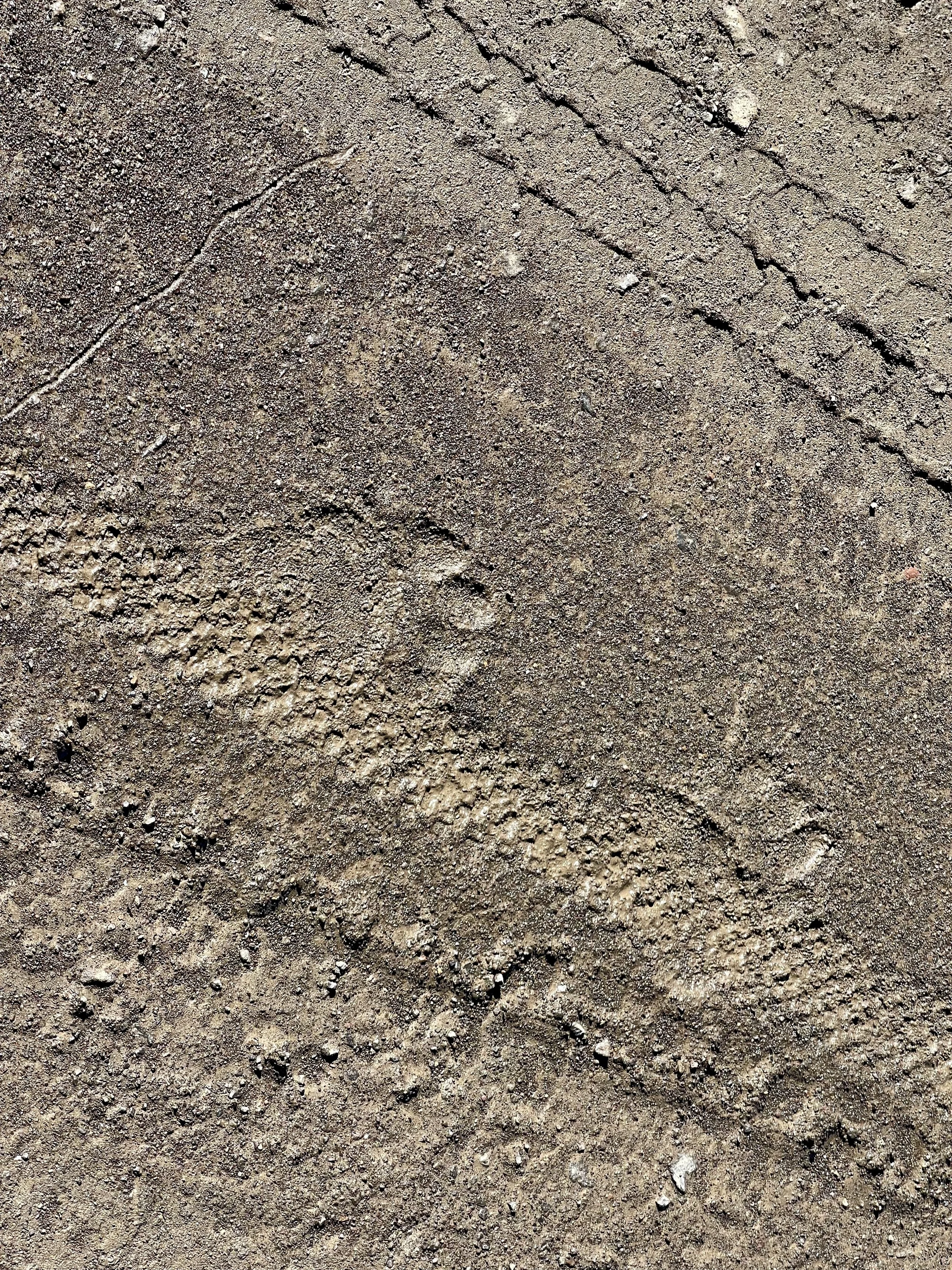
This little bear track was seen. My heart didn’t have the same adrenaline rush that I get when seeing a grizzly track
Finally we made it to the top of the pass 11,900 feet and Don takes his celebratory birthday pose.
Happy Birthday Don..bet he will remember this day!
We felt relieved that we had made it to the top and down the other side with no threats of a thunder storm.
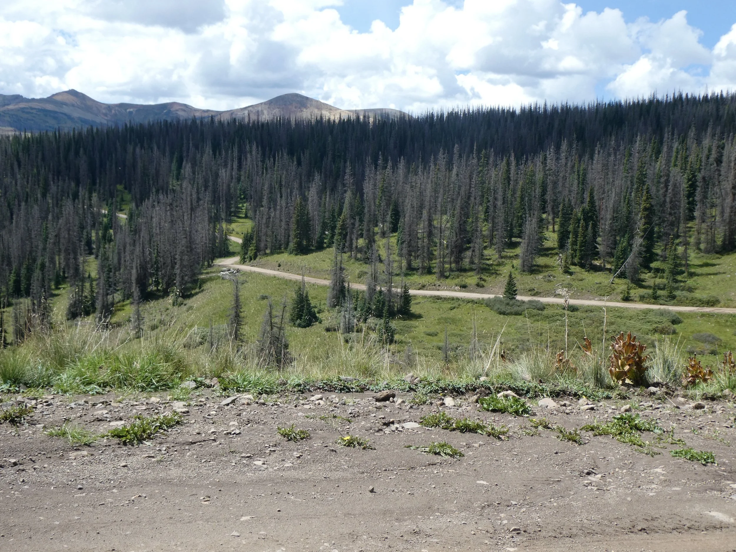
The next miles are a variety of up and down. The road is in good shape so it is just a fun riding day. We are going to go past Summitville, an old mining town that is now a superfund site.
Always fun to see where the road goes.
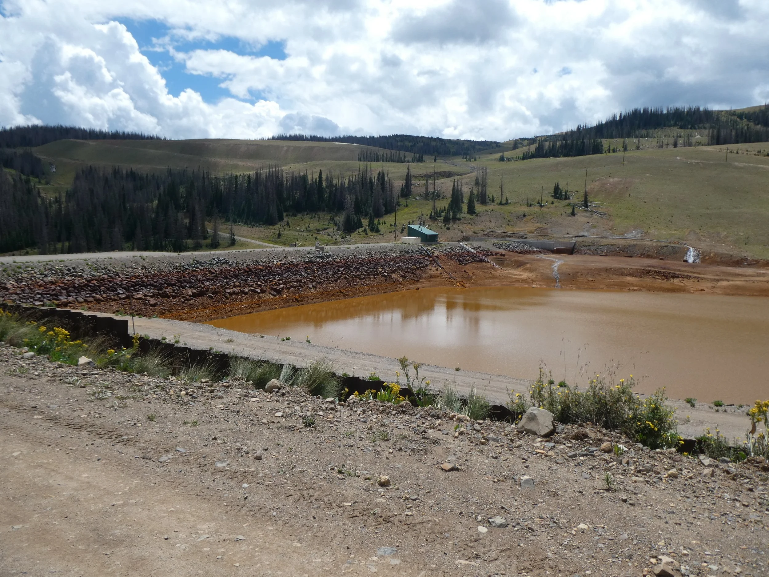
We have been warned and read that one should not get water from this area due to all the mining that has occurred.
This water sure looked unhealthy!
There is a kiosk here telling about the mine as well as a sheltered picnic area. There were a group of guys having lunch there from Missouri. They had ridden their motorcycles to Colorado and today they had rented a side by side to do some more exploring. They were impressed with our adventure and when I told them it was Don’s 72nd Birthday, they offered him a beer or as many as he wanted. He stopped at one.
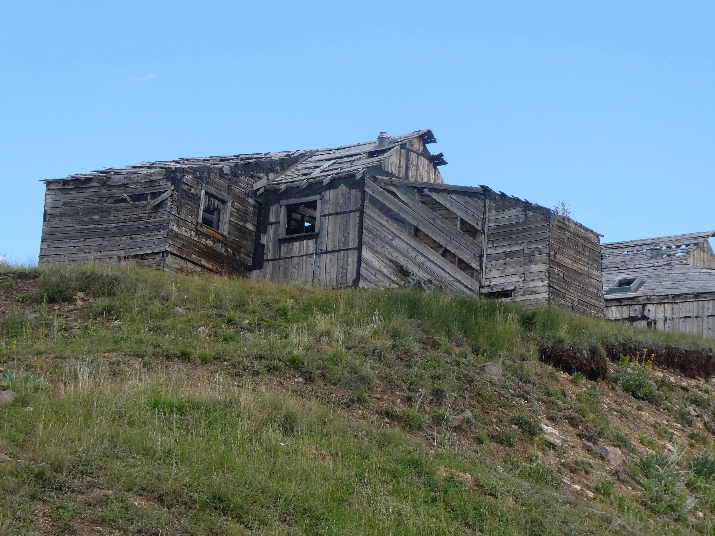
We passed some old mine buildings. At one time it was quite the busy town.
There is some restorative work being done on these buildings.
The next section of the route from Summitville should have been put to music as one just coasted downhill.
We soon forgot about all the uphill that we had to deal with this morning.
We are headed to the town of Platoro, but before we arrive we get to take in the following scenes.
We thought. for sure that we were going to get rained on, every time we turned a new direction of the road we would be surrounded by clouds, then the next turn would be sun. Happy to say the sun won out. We arrived to the town of Platoro just about the time three bikers also arrived. We had talked to them in Del Norte. They were the only group of bikers we saw the entire day. Platoro is a town known for fishing and it was obvious as we stopped at one of the small cafe/stores and saw all the fishing gear.. Don and I again had one of our favorite meals here burgers and fries before heading to the Gold Pan RV park. Most of the people that live in this town are from Texas. They come up for the summer and in the fall the town closes down and all the people return to Texas. Two other bikers from the Netherlands arrived to the RV park. They had started later than we had and had gotten caught in a rainstorm, They were cold and wet. I was glad for our early morning start.
Campsite Gold Pan RV Park
Miles Peddled 47
August 24
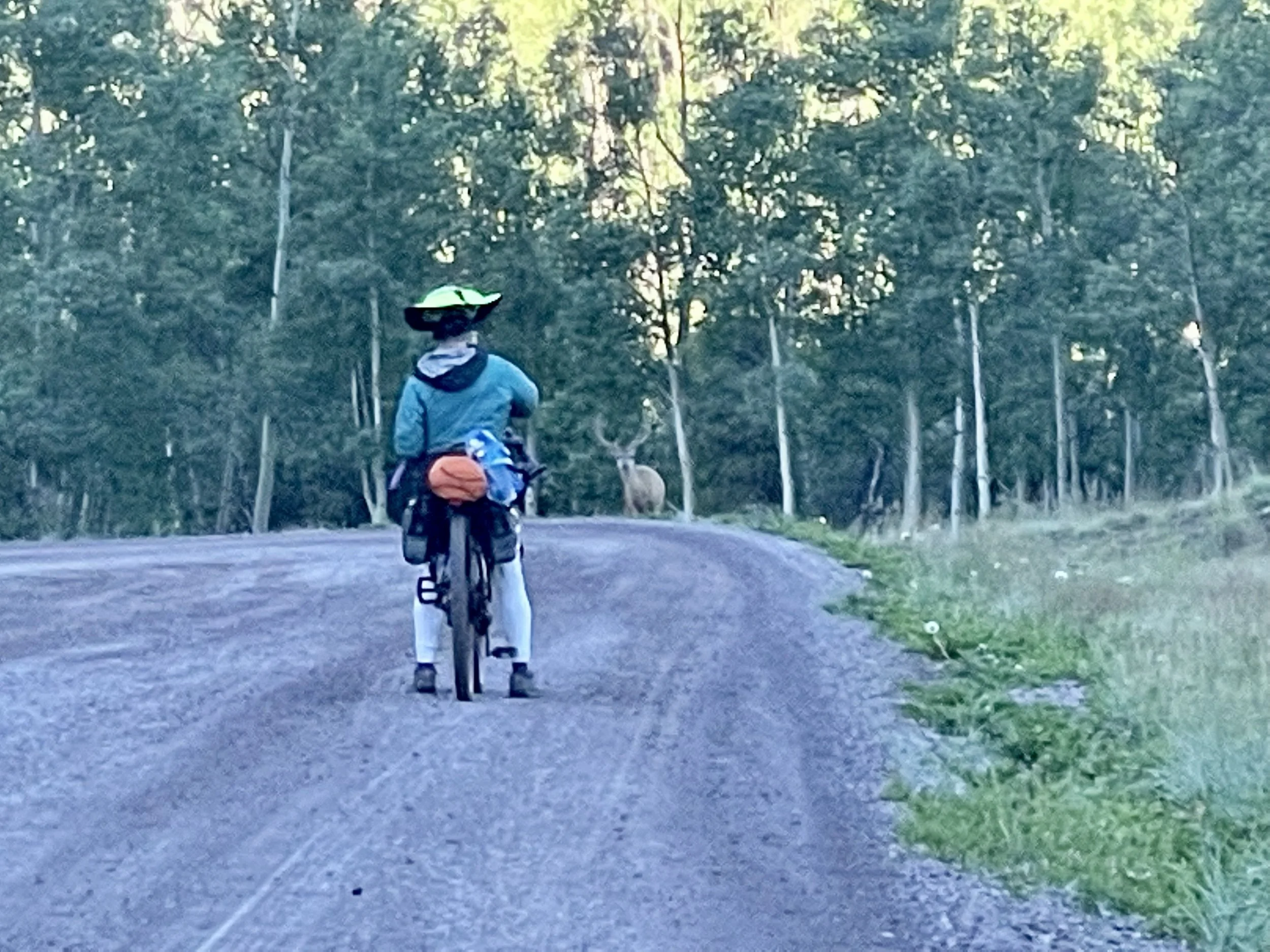
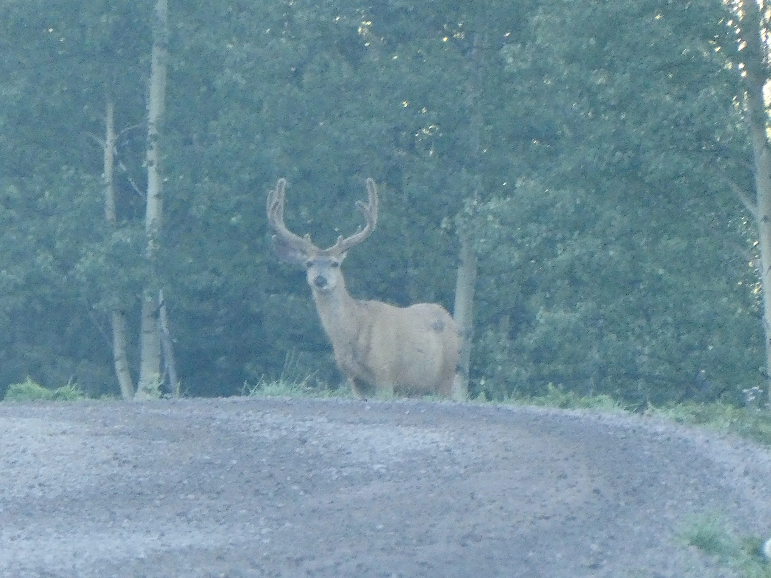
The rain has fallen some last night and we awoke to a blanket of fog in the valley. We were off by 6:30 and had some extra layers on due to the coolness. Often some of our best animal sightings have been early morning. This proved to be true when a large buck walked out of the woods.
We were impressed with the rack
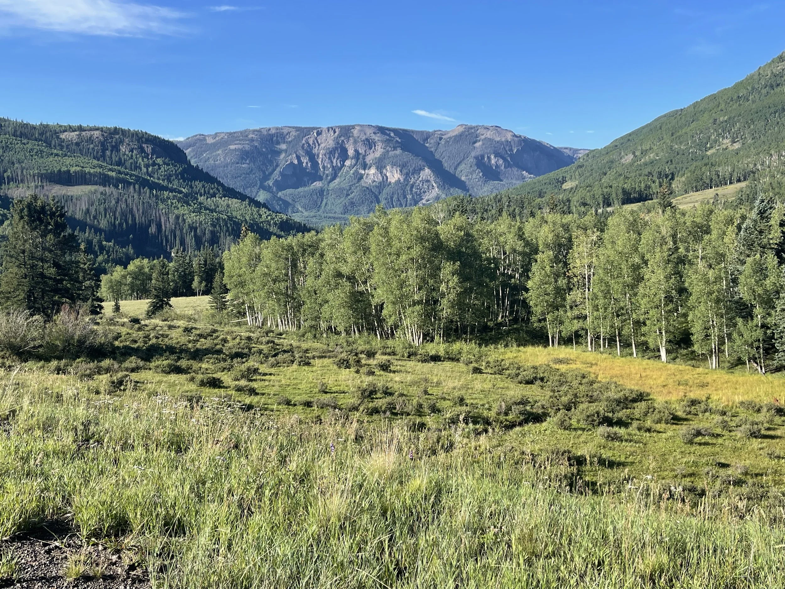
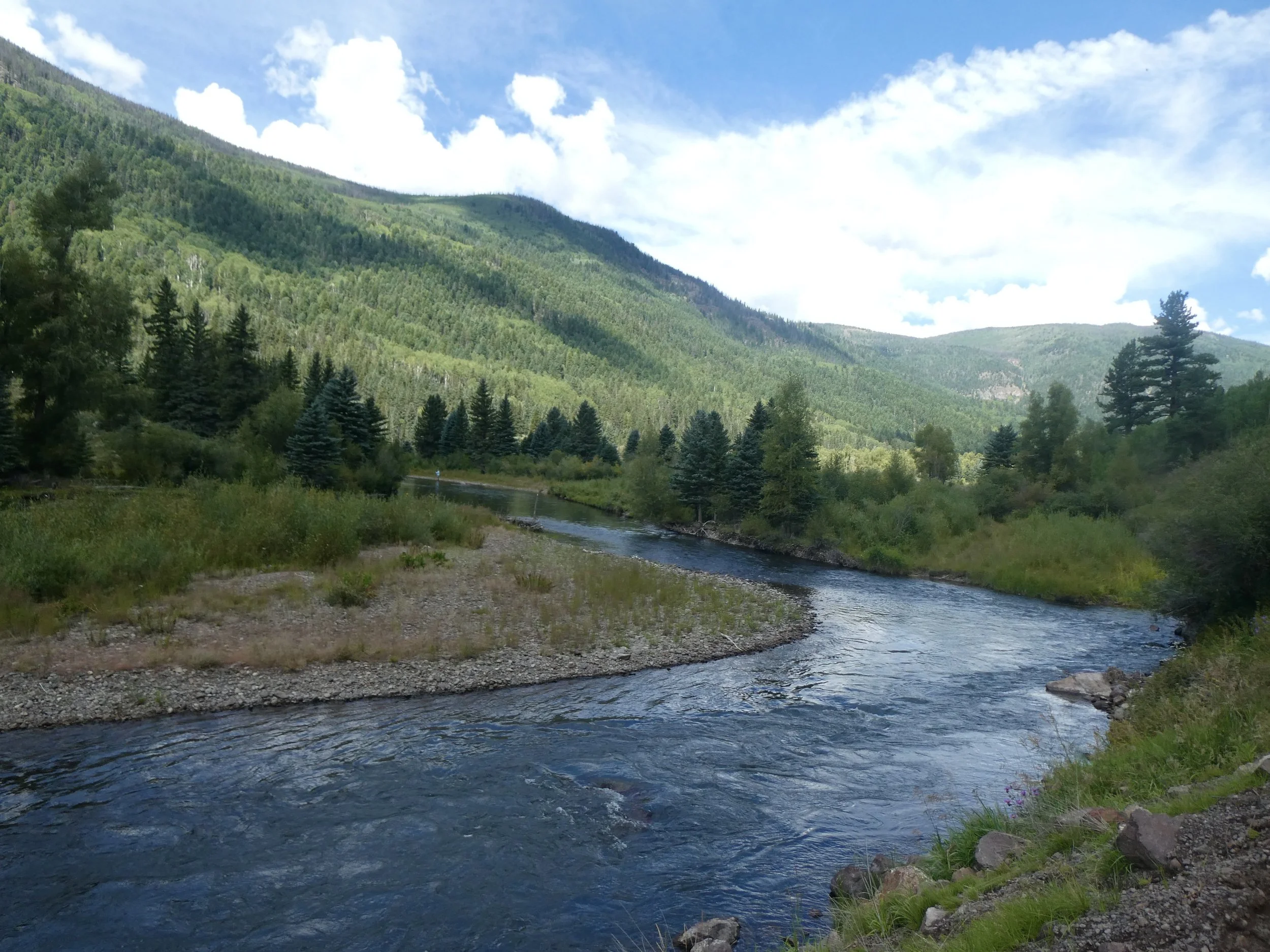
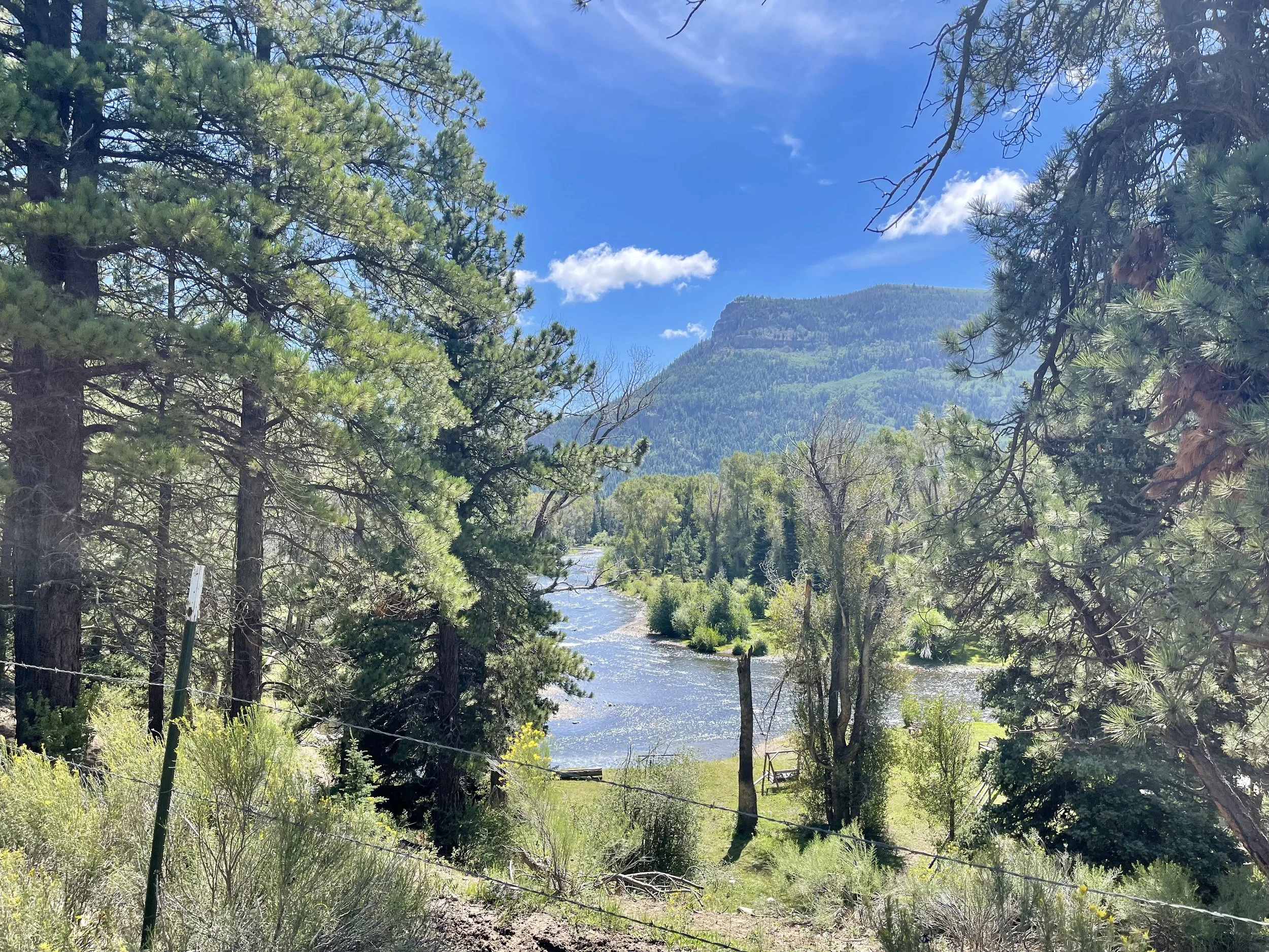
There were lots of scenic views as we peddled by Conejos River Valley
The sun quickly got rid of the fog.
Saw several fisher people trying their luck.
We stopped at the Rocky Mountain Lodge for Don’s Coffee and my ice cream. To our surprise and thankfulness they had fuel canisters. We are set for fuel for the rest of the trip. The store clerk shared the weather forecast with us, it didn’t look good for taking the dirt road south after Horca. We had read that there were bikers that had to be rescued on the dirt road due to the mud. We have respect for peanut butter mud.
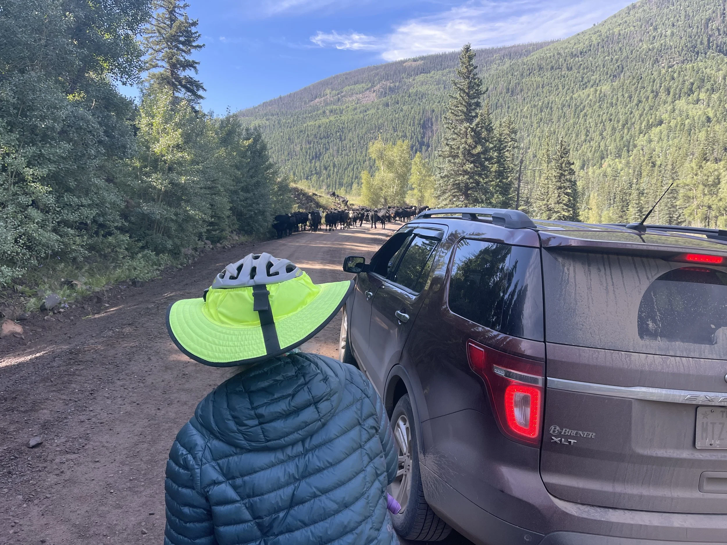
In the distance we saw a car stopped and a number of cows on the road. There was a cattle drive going on. We quickly realized that the cows didn’t have any out, they were being chased from the rear and the only route for them was right by us. A car had stopped so we quickly got behind the car.
We felt pretty safe here until we were told we needed to watch out for the bull! great!
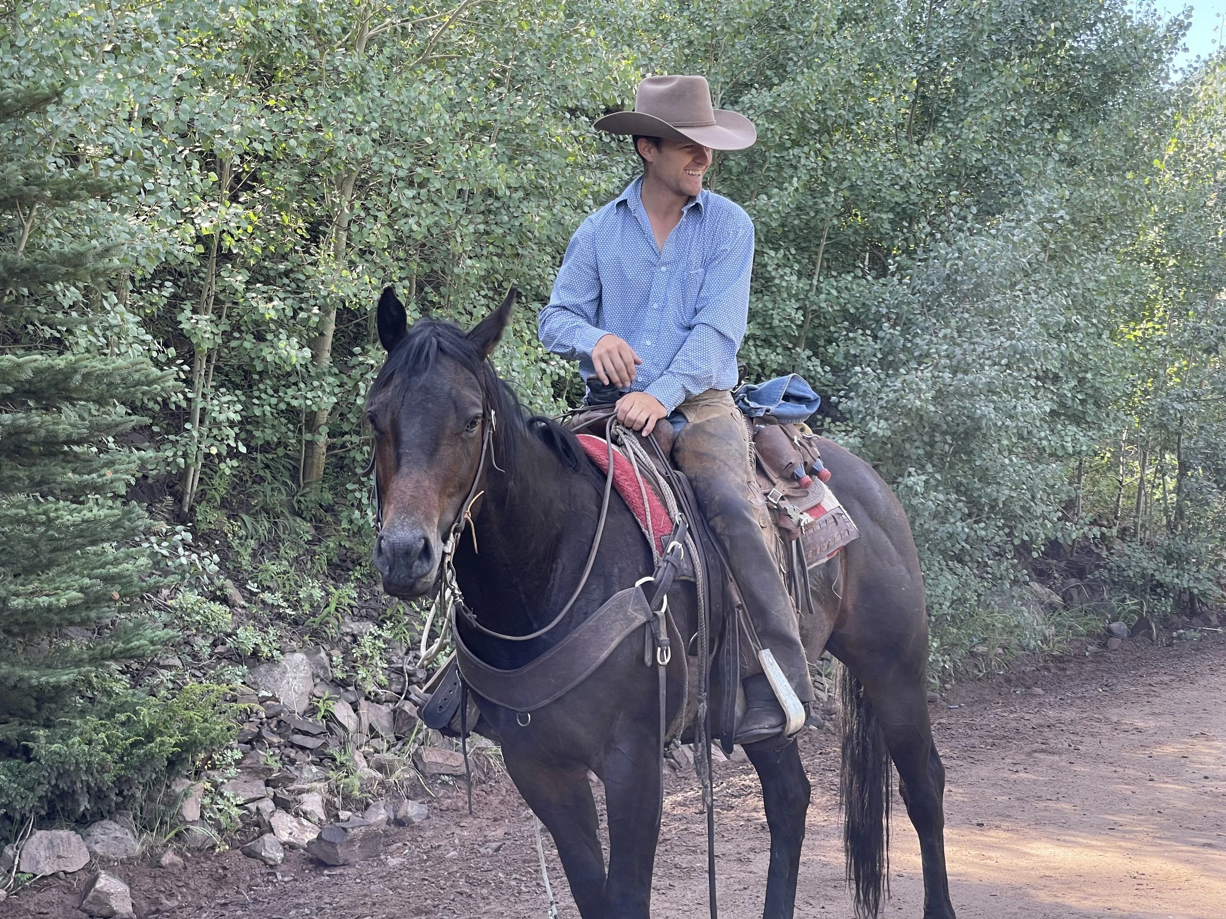
Fortunately the cowboy got the cows moving along and the bull was more interested in the female cows than us. Whew!
Thanks!
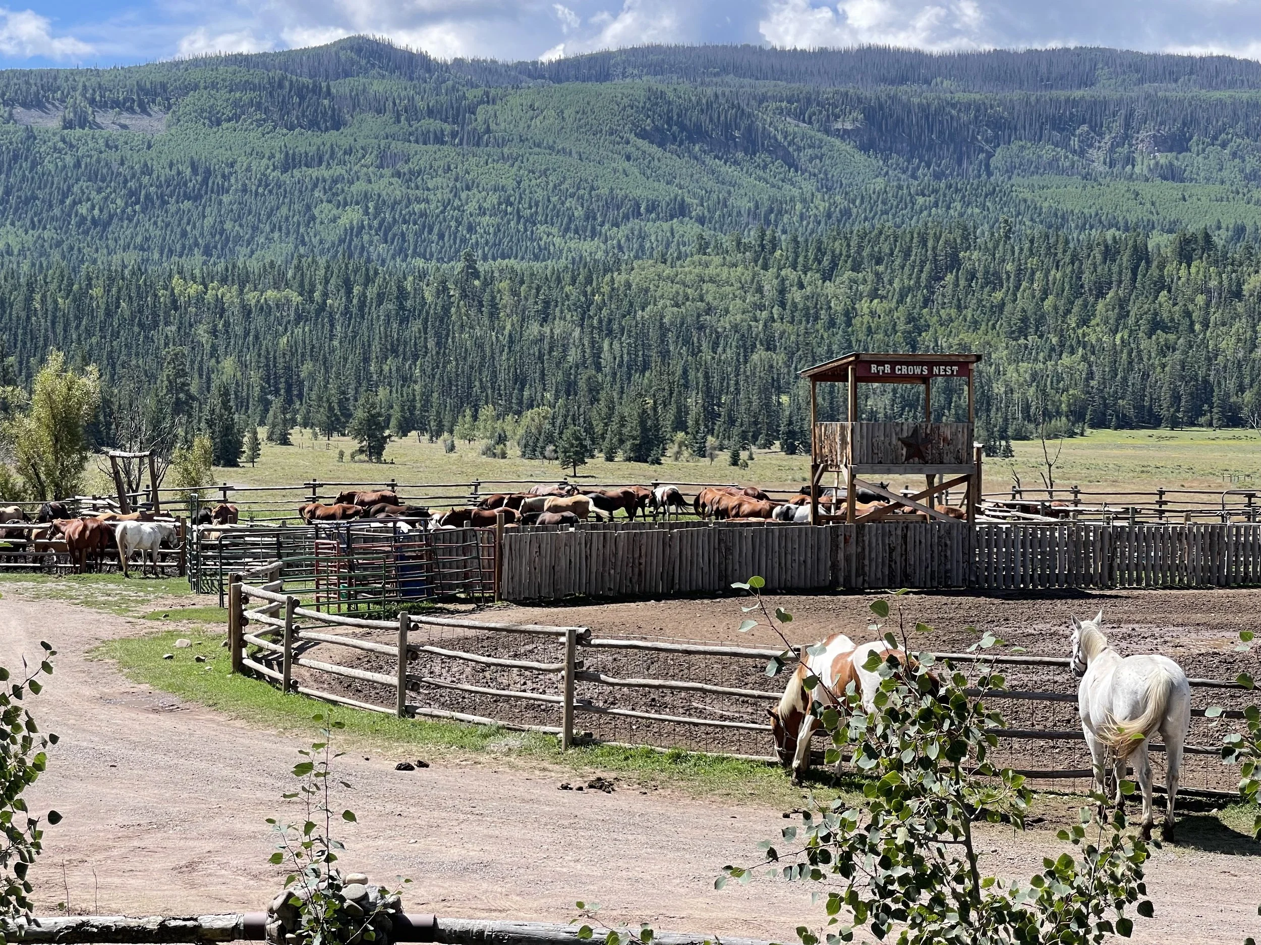
We passed by some very nice horse ranches. At one ranch there was a whole line of horses waiting to have their teeth examined.
Happy looking horses.
We stopped at a campground and had breakfast while we dried out our tent. We also checked out a road map to see what some alternative routes might be if we need to stay on pavement. We decided that for the rest of the day we are going to stay on pavement and plan on ending the day in Chama New Mexico.
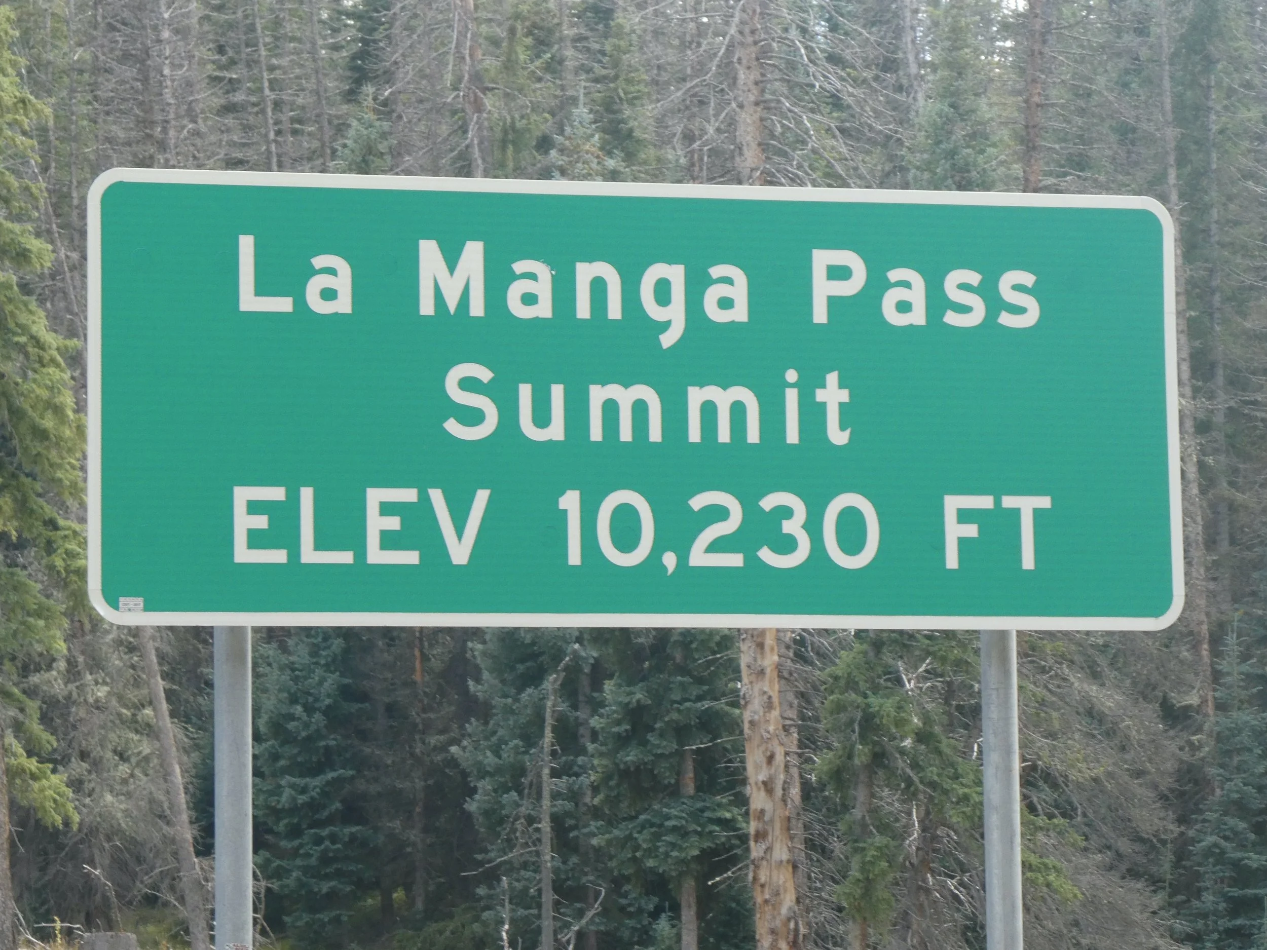
After the small town of Horca, we headed up to La Manga Pass. It is a 5 mile up hill with some steep sections.
Nice views
We zoomed down the other side only to begin the climb up to the next pass called Cumbres Pass.
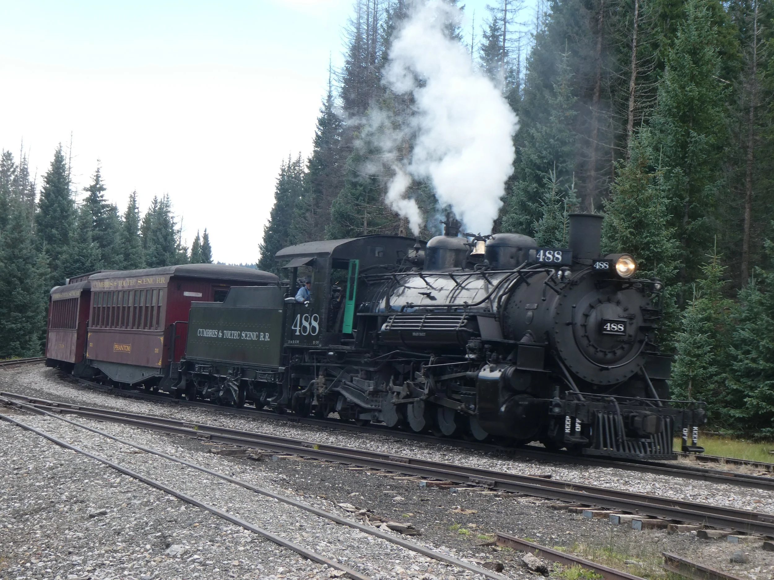
Near the road are railroad tracks that twice a day have tourists riding one of the two steam engines that are in the United States. (the other one is in Durango CO) If we are lucky we might catch a glimpse of it chugging down the tracks. We heard it a couple of times but hadn’t seen it.
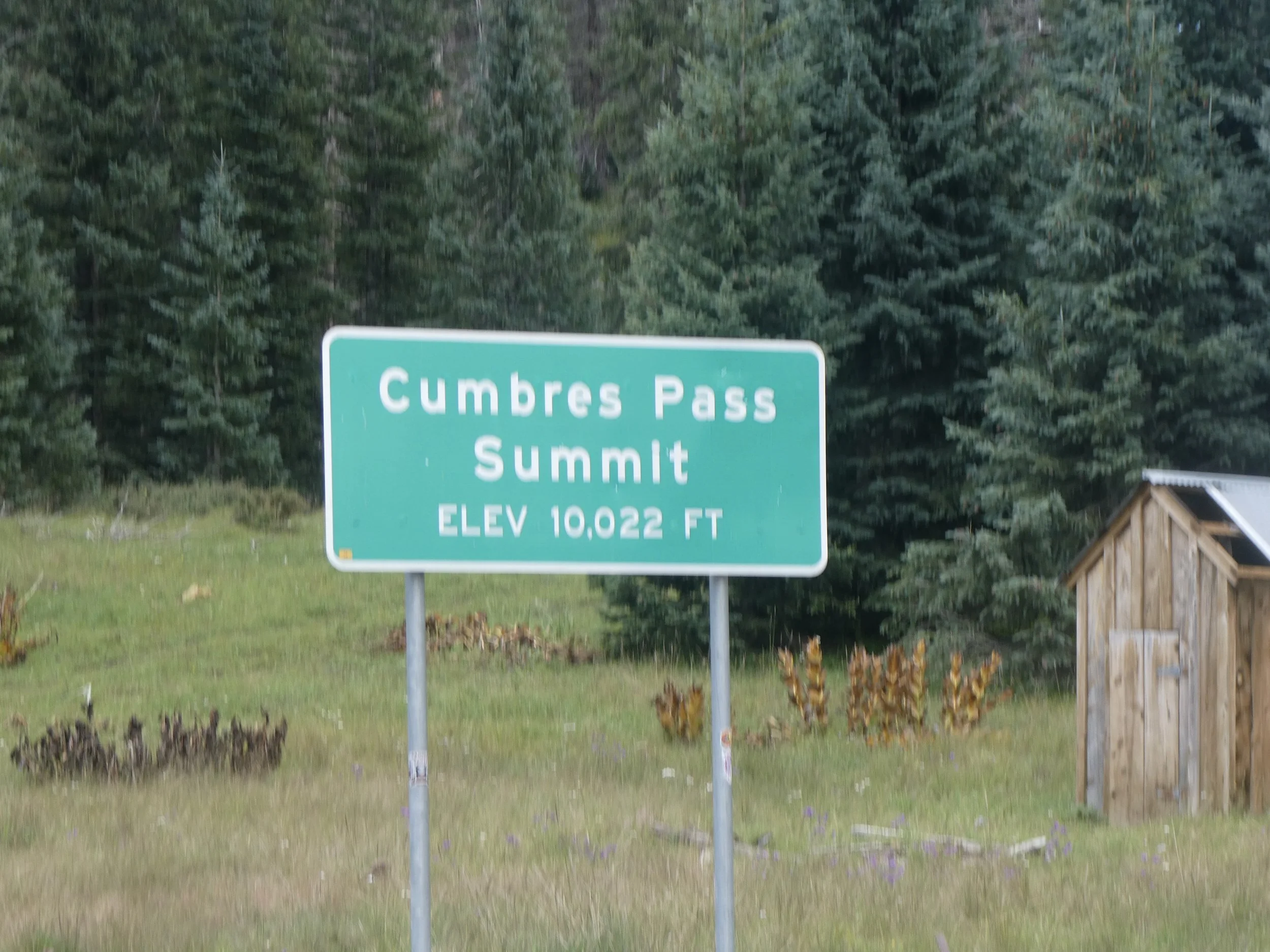
We made it to the top of the second pass and saw vehicles pulled over.
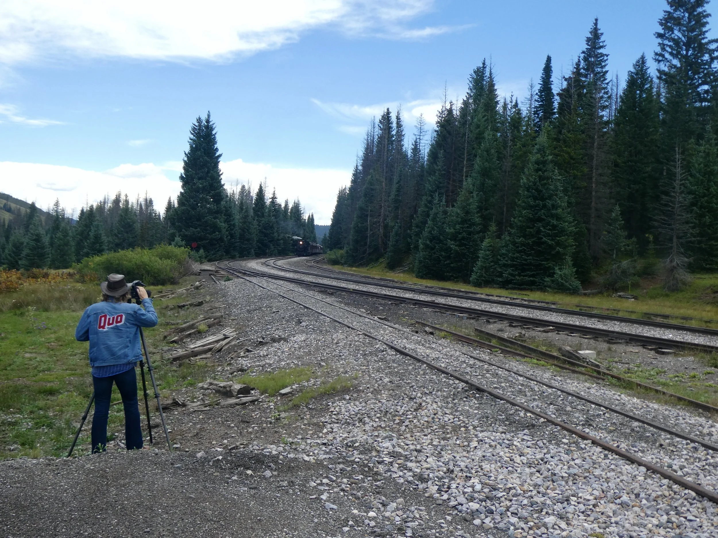
We realized that they were waiting for the Steam Engine to pass by. A man jumped out of his car and ran over with his tripod. Guessing that the train is going to be coming soon, we pulled over to wait. It wasn’t long till we heard it and then saw the train.
We later found out that the man taking the photos was from South Africa and he travels the world taking photos of Steam Engines. Another example of meeting interesting people. When we saw this man again in another spot we stopped as well and waved to the people riding the train.
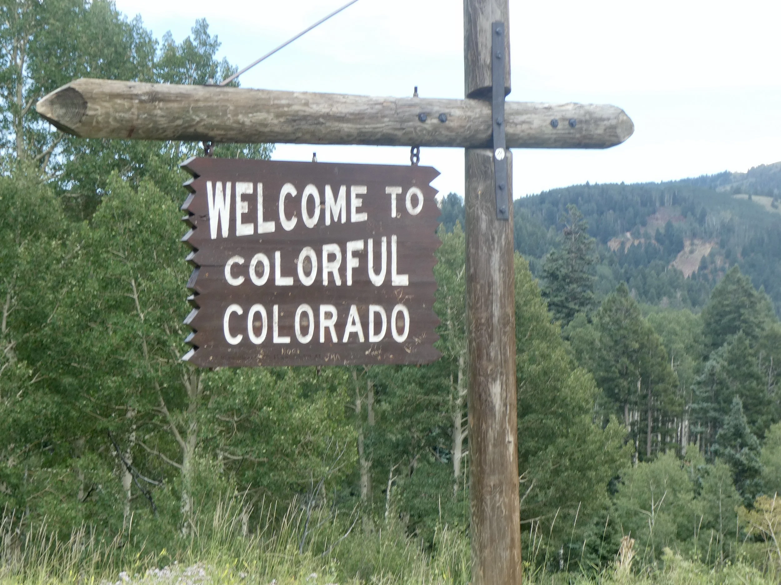
We saw the welcome to CO sign and decided to take a photo since we hadn’t seen one when we arrived to CO from Wyoming.
And then there was the next sign welcoming us to New Mexico.
This state has almost as many miles as Montana. It is also known for Peanut Butter mud when it rains. We will be paying attention to the weather forecasts.
The welcome to New Mexico committee.
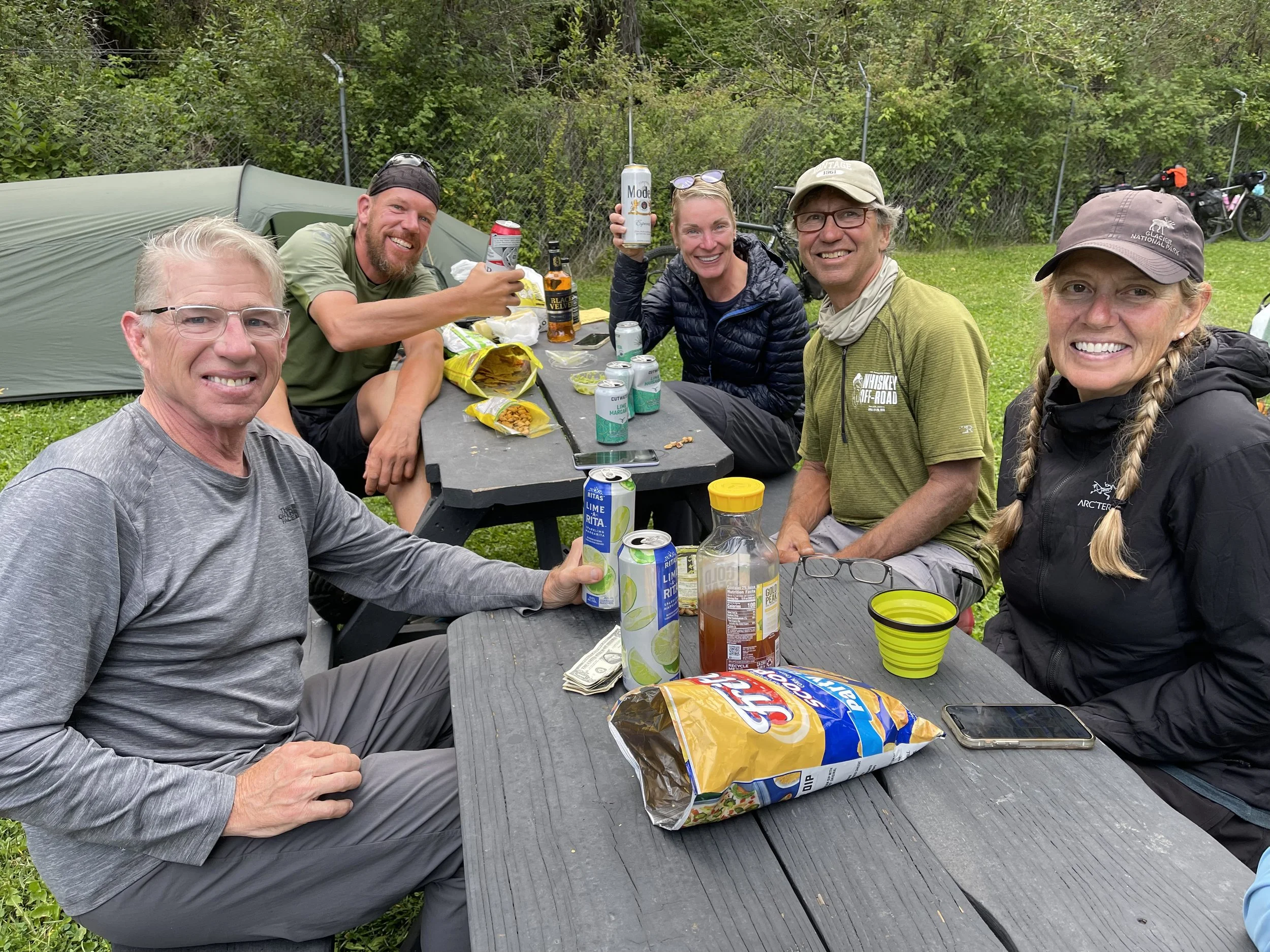
Lots of downhill till the town of Chama where we booked a night at the Rio Chama RV park. The 5 other bikers that we had met at Platoro were also staying here. (Kevin, Michele, Mark, Kiti and JJ) They invited us over to chat for awhile before we headed to eat at a local restaurant called Local. Another good day, we , along with the other bikers have decided to do pavement tomorrow to the town of Abiquiu .
Always fun to meet other bikers.
Campsite Rio Chama RV Park Chama New Mexico
Miles Peddled 50
